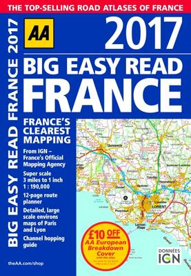
Fully revised and updated for 2017, this specialist easy-to-read, A3 road atlas designed for the British motorist in France includes 44 city, town and port plans central Paris city plan and district maps of Paris and Lyon.Coverage includes road mapping for Corsica plus there is a channel hoppingguide, channel tunnel terminal and channel tunnel port plans.
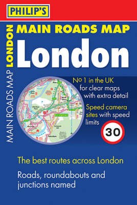
The main road map is at 1.2 inches to 1 mile, and ultra-clear, with minor roads and side streets omitted. This means all major roads can be clearly named and numbered. All key road junctions and roundabouts are named, along with all the local area names. Also shown are speed cameras, tube and rail stations, shopping centres, industrial estates, hospitals, schools, universities and airports. The map shows the Congestion Charge Zone including the new Westward Extension. All these features are esse...
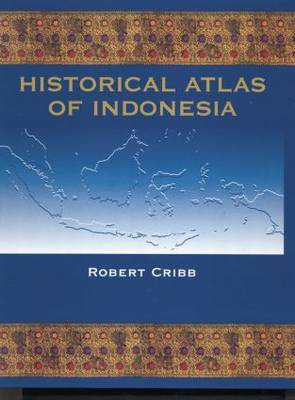
This pioneering volume traces the history of the region which became Indonesia, from early times to the present day, in over three hundred specially drawn full-colour maps with detailed accompanying text. In doing so, the Atlas brings fresh life to the fascinating and tangled history of this immense archipelago. Beginning with the geographical and ecological forces which have shaped the physical form of the archipelago, the Historical Atlas of Indonesia goes on to chart early human migration a...
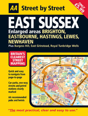
This is a new edition in the AA's groundbreaking series of "Street by Street" titles, covering East Sussex, fully revised and updated for 2007. Presented in a handy glovebox size, the maps clearly show AA recommended restaurants, pubs, hotels, one-way streets and car parks, 24-hour petrol stations and garden centres are also highlighted. Also featuring a clever use of colour to ensure they can be read under street lighting and using National Grid referencing for easy navigation from page to page...
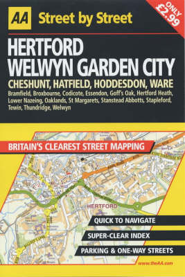
AA Street by Street Hertford, Welwyn Garden City (AA Street by Street)
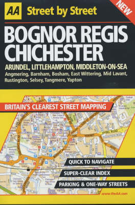
This series of street maps aim to provide clear, legible mapping with easily identifiable landmarks and a large index. They incorporate current digital data from Ordnance Survey. Each atlas in the range contains: a clear road hierarchy with a clever use of colour for easy navigation; prominent landmarks and detail for motorists; clearly marked one-way streets; easily identifiable symbols; a distance measure on each page; easy-to-read street names in clear type; clear district names and area post...
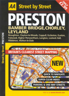
This series of practical street atlases aims to provide clear, legible mapping with the latest digital data for Britain from the Ordnance Survey. This atlas covers the Preston area. Each atlas in the range features: National Grid referencing as well as the indexed "battleship" grid; AA Service Centres, recommended restaurants and camping sites; more area at a larger scale; easy-to-read street names; clear symbols; and a clearly designed index with coloured letter headers for quick reference.
This series of practical street atlases aims to provide clear, legible mapping with the latest digital data from the Ordnance Survey. Each atlas features National Grid referencing, AA Service Centers, recommended restaurants and camping sites, easy-to-read street names and symbols, and a clearly designed index with colored letter headers for quick reference.
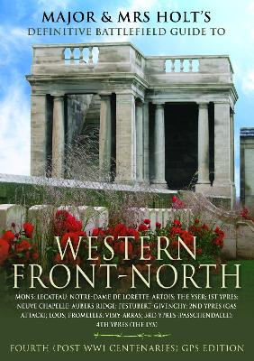
Major & Mrs Holt's Concise Illustrated Battlefield Guide - The Western Front - North
by Holt, Major & Mrs
Following in their best-selling series of Battlefield Guides this is a companion volume to the Holts Western Front South Guide. Between the two they cover the main WW1 Western Front battlefields. This book covers 15 of the most significant battles of the northern area from Nieuwport to just north of The Somme. Whether travelling on the ground or in the mind, the reader is carefully guided through the battlefields with a mixture of succinct military history, cameo memories and stories of VCs and...
Atlas of the Polar Regions (Cl)
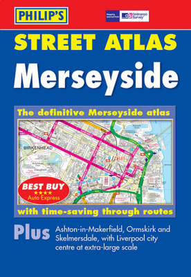
A brand new edition of this successful colour atlas of Merseyside, giving the most comprehensive and detailed coverage of the region. No other atlas names every street in Merseyside.The mapping is created by Ordnance Survey to our specification and gives the user complete coverage of all urban and rural areas. The mapping is at a standard scale of 3 1/2 inches to 1 mile (2 2/3 inches to 1 mile in the pocket edition) and is complete with postcode boundaries.The atlas is ideally suited for both bu...
The Illustrated Atlas of Jerusalem
This is a lavishly illustrated beautiful book. The work is aimed at students of religion; Judaism, Christianity, and Islam; those interested in the Bible (both Old and new Testaments); geographers; students of the Middle East; all readers who find Jerusalem to be one of the most fascinating cities in the world; world history; Jewish studies.
This series of street maps aim to provide clear, legible mapping with easily identifiable landmarks and a large index. They incorporate current digital data from Ordnance Survey. Each atlas in the range contains: a clear road hierarchy with a clever use of colour for easy navigation; prominent landmarks and detail for motorists; clearly marked one-way streets; easily identifiable symbols; a distance measure on each page; easy-to-read street names in clear type; clear district names and area post...
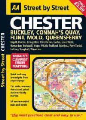
"Street by Street Chester Midi" has been fully updated with a stylish new cover design, in a handy glovebox size. Quick to navigate and easy-to-use, the maps clearly show AA recommended restaurants, pubs, hotels, one-way streets and car parks. Featuring a clever use of colour to ensure it can be read under street lighting, and National Grid referencing, "Street by Street Chester Midi" is all you need to keep you on the move.
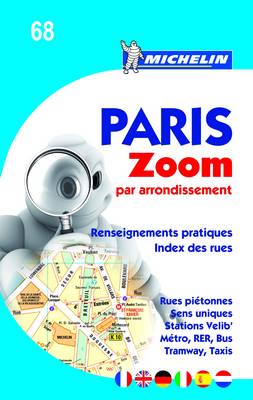
Paris Par Arrondissement - Zoomed City Plan (Michelin City Plans, #68)
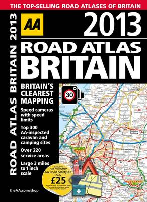
This top-selling road atlas showcases Britain's clearest mapping from the experts at the AA. Each page has been titled with its geographical location so you can turn to the page you need more easily. Fully updated static speed camera locations with speed limits are pinpointed. The top 300 AA-inspected caravan and camping sites, over 220 service areas, wide minor roads, National Trust, English and World Heritage, crematorium locations and other hard-to-find places are also shown. There are 108 ci...
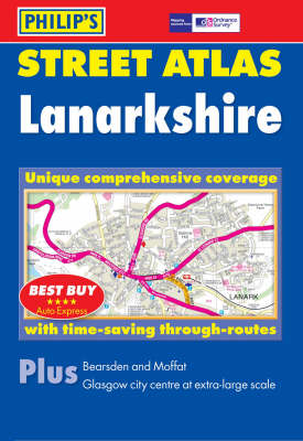
Brand new, and the only detailed colour atlas of Lanarkshire that gives comprehensive coverage of the region. No other atlas shows every street in Lanarkshire.The mapping is based on Ordnance Survey data and gives the user complete coverage of all urban and rural areas. The mapping is at a standard scale of 3 1/2 inches to 1 mile (2 2/3 inches to 1 mile in the pocket edition) from Carron Valley Forest in the north to Lesmahagow in the south, including Glasgow City and North Lanarkshire. Smaller...
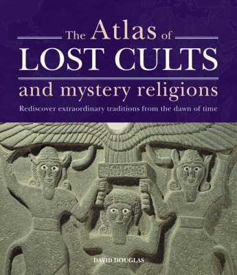
The Atlas of Lost Cults and Mystery Religions examines extraordinary cults and spiritual practices, some lost in the mists of time, others having transformed and evolved to form the basis of mystical practices still current today. A wide range of traditions are explored, from the mysterious snake worshipping goddesses of the ancient Minoans to the Cathars of medieval France, believed by some to be the protectors of the Holy Grail. The book will examine the practices of the Celtic Druids which ha...
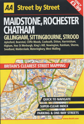
AA Street by Street Maidstone, Rochester, Chatham (AA Street by Street)
This series of street maps aims to provide clear, legible mapping with easily identifiable landmarks and a large index. They incorporate current digital data from Ordnance Survey. Each atlas in the range contains: a clear road hierarchy with a clever use of colour for easy navigation; prominent landmarks and detail for motorists; clearly marked one-way streets; easily identifiable symbols; a distance measure on each page; easy-to-read street names in clear type; clear district names and area pos...
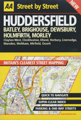
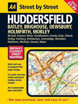
A new edition in the AA's ground breaking series of street atlases, covering Huddersfield in a handy glovebox size. The atlas uses the latest digital data for Britain from Ordnance Survey and the AA and also includes National Grid Referencing as used by the emergency services. All of the maps clearly show recommended restaurants, hotels, one-way streets and car parks, with 24-hour petrol stations now highlighted. Featuring a clever use of colour to ensure they can be read under street lighting,...
An Historical Review of the Reign of the Emperor Nikolai I
by Nikolai G Ustryalov
In this new series of street atlases, special features include a clear hierarchy of roads with colour for easy navigation, prominent landmarks and details for motorists, clear district names and area postcodes and a distance measure on each page.
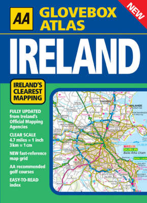
New for 2004, this popular A5 Atlas combines the AA 's tradition of clear mapping with a practical glovebox format. Clear, accurate and up-to-date; Presented in a handy A5 size; Easy-to-read 3,500 place name index, plus tourist sites; Map legend in English, Gaeilge, Frantais, Deutsch. Ireland's clearest road mapping; Main-map scale 1:300,000 or 3km to 1cm (4.7 miles to 1 inch); Fully updated from Ireland 's Official Mapping Agencies, OSI and OSNI; Irish National Grid shown; New M1 Dublin to Dund...
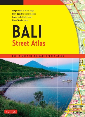
Finding your way around Bali has never been easier! This newly revised Street Atlas from Periplus, Asia's leading book and map Publisher, is designed for Bali residents and visitors. It is the first and only atlas of Bali produced to world-class cartographic standards. All roads are color-coded with major arteries in bright yellow and orange. All key landmarks are highlighted - including beaches, temples, hotels, shops, restaurants, shopping malls, consulates, government offices, hospitals, cl...
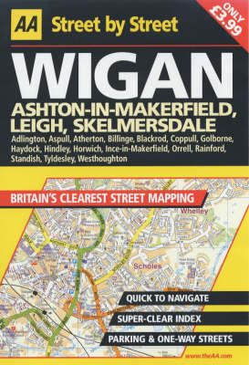
This series of street maps aims to provide clear, legible mapping with easily identifiable landmarks and a large index. They incorporate current digital data from Ordnance Survey. Each atlas in the range contains: a clear road hierarchy with a clever use of colour for easy navigation; prominent landmarks and detail for motorists; clearly marked one-way streets; easily identifiable symbols; a distance measure on each page; easy-to-read street names in clear type; clear district names and area pos...
