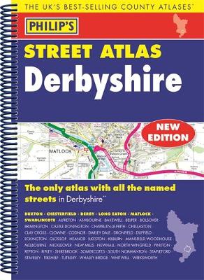
THE ONLY COUNTY STREET ATLAS WITH ALL THE NAMED STREETS OF DERBYSHIRE.The UK's best-selling county street atlasesMore than 24,000 named streets, roads, lanes and alleysThe essential map book for residents and visitors - and if you're moving to DerbyshireIncludes all the streets in BUXTON, CHESTERFIELD, DERBY, LONG EATON, MATLOCK, SWADLINCOTE, Alfreton, Ashbourne, Bakewell, Belper, Bolsover, Brimington, Chapel-en-le-Frith, Clay Cross, Clowne, Dronfield, Eckington, Glossop, Heanor, Ilkeston, New M...
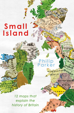
The greatest questions of our future can be answered by twelve crucial moments in Britain's history.It wasn't long-ago that Britons could have been as at home in Varanasi as they could have been in Wolverhampton - why? - because the shape and location of Britain's land-mass has not always been the same, and with large parts of Britain scattered across the globe, British borders and its identity has always been on the move.But, by knowing more about the twelve pivotal moments that occurred over a...
A new hardback atlas featuring fully updated cartography from Philip's digital database, which has been voted Britain's clearest and most detailed mapping in an independent consumer survey, and now includes speed camera locations.Hardback atlases are popular as gifts and also for self-purchase by heavy users such as business drivers.The 176 pages of standard-scale maps cover Britain at 3 miles to 1 inch (Scottish Highlands and Hebrides at 4 miles to 1 inch). The maps clearly mark service areas,...
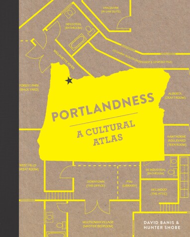
The new cartography is about much more than just land! In 150 infographic maps of Portland, Oregon, two leading geographers explore unexpected topics like city chickens, wild coyote encounters, food-truck trends, and coffee culture. Modern cartography tells the hidden stories of Portland in these fascinating and colorful infographic maps. When mapmaking takes on nontraditional topics like patterns of graffiti, locations of strip clubs, or even which neighborhoods favor which house colors, findin...
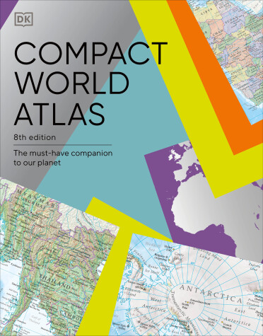
Discover all the nations of the world with the clear, colorful maps, flags, and statistics in this invaluable reference source Beautifully designed maps, flags, and country profile data make this atlas an ideal source of information about our ever-changing world. Arranged in three main sections, the Compact World Atlas provides an excellent source of accurate and informative geographical information in an attractive, affordable, user-friendly package. The first section gives a global overvi...
New, and the only detailed colour atlas of Cumbria that gives comprehensive coverage of the region. No other atlas shows every street in Cumbria.The mapping is based on Ordnance Survey data and gives the user complete coverage of all urban and rural areas. The mapping is at a standard scale of 1 3/4 inches to 1 mile (1 1/4 inches to 1 mile in the pocket edition) with larger scale mapping of 3 1/2 inches to 1 mile (2 1/2 inches to 1 mile in the pocket edition) for the following towns Ambleside, A...
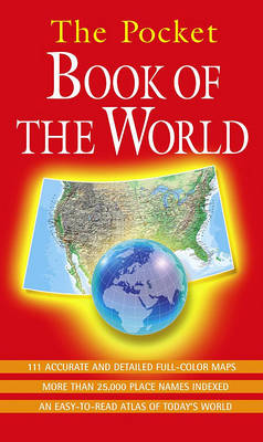
This detailed and colourful global guide puts the world at your fingertips. Two world maps, six continent maps and 103 regional maps present our world in close up. THE POCKET BOOK OF THE WORLD is an ideal companion for students, travellers and the whole family. The guide includes: Physical and political maps of the world; Maps of all the continents; 103 regional maps; 90 page index; Colour coded for ease of use; The latest cartographic data. THE POCKET BOOK OF THE WORLD is the ultimate pocket...
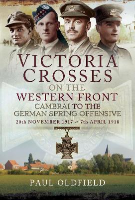
Victoria Crosses on the Western Front - Cambrai to the German Spring Offensive
by Paul Oldfield
In the past, while visiting the First World War battlefields, the author often wondered where the various Victoria Cross actions took place. He resolved to find out. In 1988, in the midst of his army career, research for this book commenced and over the years numerous sources have been consulted. _Victoria Crosses on the Western Front - Cambrai to the German Spring Offensive_ is designed for the battlefield visitor as much as the armchair reader. A thorough account of each VC action is set with...
Western Front: Landscape, Tourism and Heritage
by Stephen Thomas Miles
The Western Front has become, once again, and after 100 years, an important and increasingly popular tourist destination. The Centenary is already encouraging large numbers of visitors to engage with this highly poignant landscape of war and to commemorate the sacrifice and loss of a previous generation. Interest is also being sharpened in the 'places of war' as battle-sites, trench-systems, bunkers and mine craters gain a clearer identity as war heritage. For the first time this book brings tog...
If you love the outdoor life in a tent, a caravan or a bungalow: this Michelin guide is for you. The New edition of Camping France has been fully revised to include 2300 campsites for all budgets and styles, carefully selected by independent Michelin inspectors and includes: 750 budget value campsites, 1300 sites with motorhome facilities and 2000 sites with chalets, mobile homes, yurts, huts and cabins, gypsy caravans and other rental accomodation. Also a selection of 33 campsites with the fine...
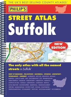
THE ONLY COUNTY STREET ATLAS WITH ALL THE NAMED STREETS OF SUFFOLKThe UK's best-selling county street atlasesMore than 24,000 named streets, roads, lanes and alleysThe essential map book for residents and visitors - and if you're moving to SuffolkIncludes all the streets in BURY ST EDMUNDS, FELIXSTOWE, HAVERHILL, IPSWICH, LOWESTOFT, NEWMARKET, SUDBURY, Aldeburgh, Beccles, Brandon, Bungay, Burwell, Capel St Mary, Diss, East Bergholt, Eye, Framlingham, Great Barton, Hadleigh, Halesworth, Harleston...
This new edition highlights theme parks and World Heritage sites and contains larger-scale mapping of Scandinavia, Greece and western Turkey. It gives up-to-date driving regulations, including speed limits, for every country in Europe.
