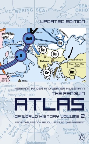
The Penguin Atlas of World History
by Hermann Kinder and Werner Hilgemann
The second volume of the highly successful PENGUIN ATLAS OF WORLD HISTORY covers events from the French Revolution to the present day. Numerous maps help clarify a detailed chronological summary of the main events of the period throughout the world. This volume has now been updated to include recent events, from the aftermath of the fall of the Berlin Wall to the terrorist attacks of 11 September 2001
The true story of Gerard Mercator, the greatest map-maker of all time, who was condemned to death as a heretic. 'Geographie and Chronologie I may call the Sunne and the Moone, the right eye and the left, of all history.' In 'The World of Gerard Mercator', Andrew Taylor chronicles both the story of a great astronomer and mathematician, who was condemned to death as a heretic, and the history of that most fascinating conjunction of science and art: the d...
This street atlas includes National Grid referencing, easy-to-read street names and clear symbols. It features prominent landmarks and detail for motorists; AA Service Centres; and recommended restaurants and camping sites. It covers Hertford to Crawley and Beaconsfield to Gravesend.
This series of practical street atlases aims to provide clear, legible mapping with the latest digital data from the Ordnance Survey. Each atlas features National Grid referencing, AA Service Centers, recommended restaurants and camping sites, easy-to-read street names and symbols, and a clearly designed index with colored letter headers for quick reference.
Interstate Atlas U.S.A., Canada, Mexico (Road Atlases of North America S.)
by H M Gousha
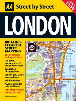
This compact street atlas of London has been fully updated, now with London 2012 Olympic venue shown. Keeping you on the move in the city, the maps clearly show AA recommended restaurants, pubs, hotels, one-way streets and car parks and feature a clever use of colour to ensure they can be read under street lighting.
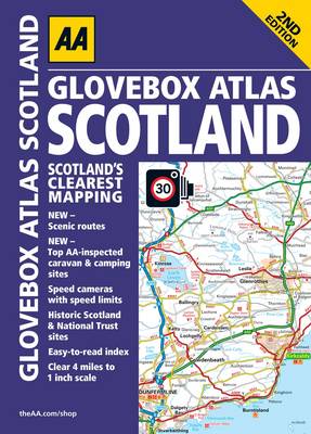
This handy atlas fits in the glovebox of your car, perfect for quick referencing on the move. Including information on route planning, car ferry routes, road map symbols, key to map range county map and mileage chart, this is the perfect glovebox companion for travelling through Scotland.
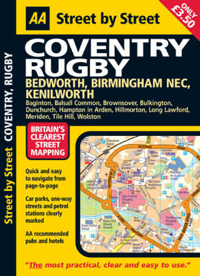
This is a new edition in the AA's groundbreaking series of "Street by Street" titles, covering Coventry, fully revised and updated for 2007. Presented in a handy glovebox size, the maps clearly show AA recommended restaurants, pubs, hotels, one-way streets and car parks. 24-hour petrol stations and garden centres are also highlighted. Also featuring a clever use of colour to ensure they can be read under street lighting and using National Grid referencing for easy navigation from page to page, t...
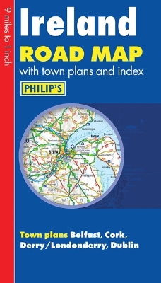
Philip's Ireland Road Map shows the whole of Ireland at a scale of 9 miles to 1 inch (1 cm on the map = 5.5 km on the ground). The map includes a comprehensive index of place names, plus detailed town plans of Belfast, Cork, Derry/Londonderry and Dublin, with tourist information clearly marked.The map has been specially prepared for touring, picking out major routes and destinations in bold colours for easy journey planning and route-finding, and is a convenient size for use in a vehicle.The dig...
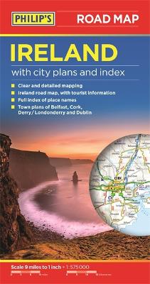
Philip's Ireland Road Map shows the whole of Ireland at a scale of 9 miles to 1 inch (1 cm on the map = 5.5 km on the ground). The map includes a comprehensive index of place names, plus detailed town plans of Belfast, Cork, Derry/Londonderry and Dublin, with tourist information clearly marked. The map has been specially prepared for touring, picking out major routes and destinations in bold colours for easy journey planning and route-finding, and is a convenient size for use in a vehicle. The...
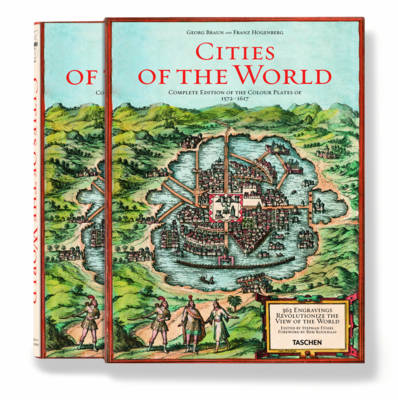
Google Earth's ancestor: a snapshot of urban life, circa 1600. This is history's most opulent collection of town maps and illustrations. This is the complete reprint of all 363 color plates from Braun and Hogenberg's survey of town maps, city views, and plans of Europe, Africa, Asia and Central America, with dozens of unusual details, two folding maps, as well as selected extracts from the original text and an in-depth commentary. It is first published in Cologne 1572-1617. More than four centur...
Operation GOODWOOD is the story of the largest armoured battle fought in the campaign for north west Europe. Over a thousand British and Canadian tanks were employed as three British armoured divisions pushed forward down a narrow corridor in an attempt to achieve a clean penetration of the German lines. The clash between two very different armies resulted in a number of asymmetric engagements, which are studied in detail. This story contains much new information of interest to tourists and seri...
While best known as being the scene of the most terrible carnage in the WW1 the French department of the Somme has seen many other battles from Roman times to 1944. William the Conqueror launched his invasion from there; the French and English fought at Crecy in 1346; Henry V's army marched through on their way to Agincourt in 1415; the Prussians came in 1870. The Great War saw three great battles and approximately half of the 400,000 who died on the Somme were British ' a terrible harvest, mar...
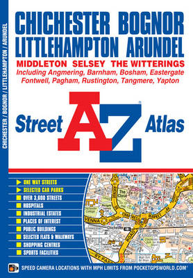
This A-Z map of Chichester, Bognor Regis, Littlehampton and Arundel is a full colour street atlas featuring 42 pages of mapping which extends to include:*Goodwood House*Slindon *Angmering *Angmering-on-Sea *Rustington *Middleton-on-Sea *Felpham *Pagham*Bosham*Fishbourne There is separate coverage of East Wittering, West Wittering and Selsey. Postcode districts, one-way streets and safety camera locations with their m...
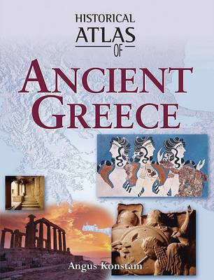
From the Bronze Age and Mycenaean culture to the final collapse of ancient Greek civilization, the history of the Greek world with its language, culture, political systems, philosophy, art and architecture has fascinated countless generations. From the acts of citizen soldiers who safeguarded Greek civilization when it was threatened by the Persians to the Greek writers, poets, architects, politicians, and philosophers on whose foundations Western culture has been built, the Greek influence endu...
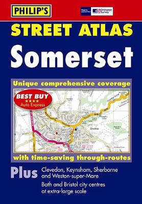
This is a completely revised edition of the only street atlas of Somerset giving comprehensive, detailed coverage of the county. No other atlas shows every street in Somerset. The mapping is based on Ordnance Survey data and gives the user complete coverage of all urban and rural areas. The mapping is at a standard scale of 3 1/2 inches to 1 mile (2 2/3 inches to 1 mile in the pocket edition) although some of the more rural areas are mapped at 1 3/4 inches to 1 mile (1 1/3 inches to 1 mile in th...
