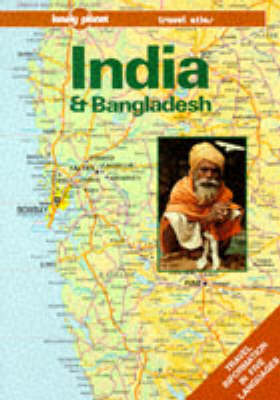
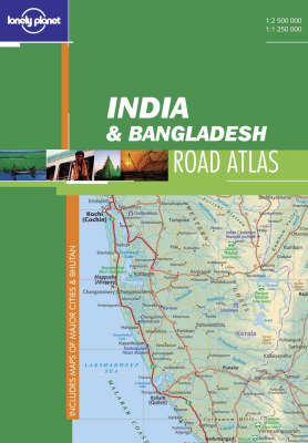
Lonely Planet has completely redesigned and updated the Travel Atlas. The new atlases contain loads more maps that provide regional coverage in a range of different scales, including detailed maps of main cities and towns. The comprehensive information in the atlases has been fully cross-referenced with Lonely Planet guidebooks. Other features of the series include distance and climate charts, plus a complete index of all map features.
Cross referenced to the Lonely Planet guidebook, this atlas contains three scales, including town and city maps, plus special interest maps, such as national parks. Road distance and climate charts are featured, as well as trip maps to plan your journey.
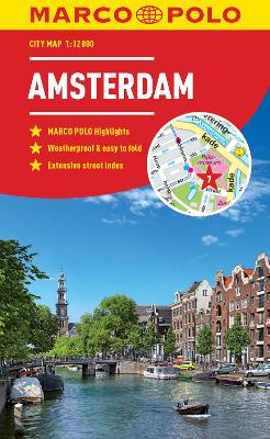
Amsterdam Marco Polo City Map 2018: the ideal map for your trip Let the Marco Polo city map of Amsterdam guide you around this awe-inspiring city. Highly durable and waterproof, this handy, pocket-size Amsterdam map folds away easily and is always on standby to help when you're stuck. Laminated finish - it feels like paper but it's waterproof, durable and tear-resistant! This hard-wearing, little pocket map of Amsterdam will withstand lots of folding and refolding. Pocket size - the handy, ligh...
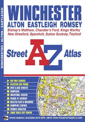
This A-Z map of Winchester is a full colour street atlas featuring 40 pages of continuous street mapping to include:*Eastleigh*Romsey*Southampton International Airport*Chandler's Ford*Sutton Scotney*South Wonston*Itchen Abbas Alton, New Alresford and Four Marks are covered separately and also included is a large scale city centre map of Winchester. Postcode districts, one-way streets, safety camera locations with their maximum speed, park and ride sites and the South Downs Na...
Three Dimensional Atlas of the World
by Theodore Rowland-Entwistle and etc.
Pittsburgh (Pennsylvania) (Streetfinder S.)
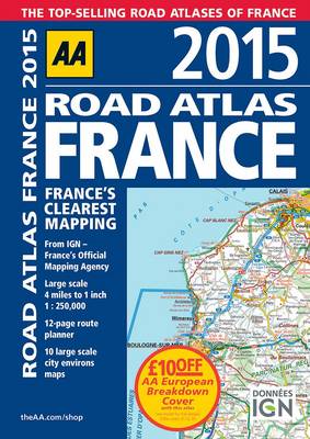
Fully revised and updated for 2015, this specialist A4 road atlas designed for the British motorist in France includes 32 city centre plans to help you find your way in and around busy centres. There is also a 12-page route planner, 10 large scale city environs maps and over 18,500 tourist sites shown on the mapping. Road mapping for Corsica is included, plus 10 district maps including Paris, Lyon, Marseille, Lille, Toulouse and Bordeaux. The atlas legend is in English, French, Spanish, Italian,...
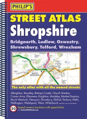
The only atlas with all the named streets in Shropshire. From Philip's, the UK's leading publisher of county street atlases. Street maps show car parks, schools, hospitals and many other places of interest. Practical route-planning section showing all A and B roads. BRIDGNORTH, LUDLOW, OSWESTRY, SHREWSBURY, TELFORD, WREXHAM, ALBRIGHTON, BEWDLEY, BISHOP'S CASTLE, CHURCH STRETTON, CRAVEN ARMS, ELLESMERE, KNIGHTON, MADELEY, MARKET DRAYTON, MUCH WENLOCK, NEWPORT, SHAWBURY, SHIFNAL, TENBURY WELLS...
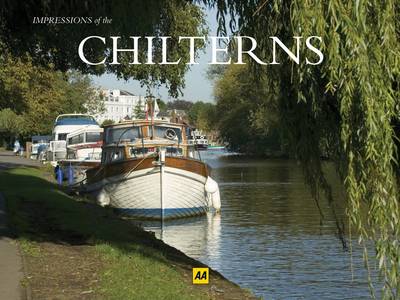
A new photographic guide in the popular "Impressions" series, "Impressions of The Chilterns" showcases the best of the region with stunning photographs of the landscapes, settlements and people that make this nation unique. With carefully chosen images of the highest quality, the book provides an evocative and appealing picture to this beautifully picturesque and interesting region, celebrating the culture, people and architecture along the way.
Confederate Literature
by Charles Newcomb Baxter and James Marshall Dearborn
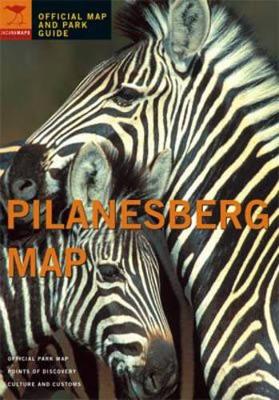
Pilanesberg National Park, only one and a half hours' drive from Johannesburg, is one of the largest national parks in Southern Africa. This natural sanctuary is surrounded by a ring of mountains produced by volcanic activity some 1200 million years ago. This map and guide will make your visit to Pilanesberg fascinating and memorable. All species are vital to sustaining the ecosystem. This guide gives you a wealth of interesting information about animals and their habitats.
