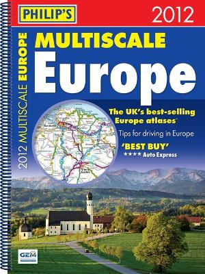
Philip's Multiscale Europe 2012 gives more for leisure travellers than any comparable product. In addition to the main maps at 1:750,000, the continental road network is shown at three supplementary scales from 1:200,000 to 1:3M, with ultra-clear detailed maps for urban areas.Scenic routes are highlighted on the road maps, with theme parks and World Heritage sites clearly shown. The maps also highlight towns with low emission zones and show motorway rest/parking areas.Philip's Multiscale Europe...
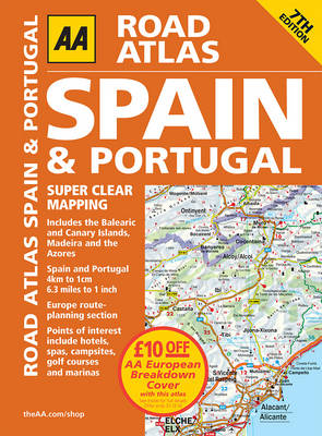
This is the sixth edition of this large-scale atlas, providing essential mapping for driving through Spain and Portugal. The atlas includes additional information on traffic services, garages, road side assistance, car hire, airports, railways, tourist information centres and weather information. There is a helpful route planner with distance pointers, motorways map section and comprehensive place name index.
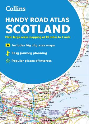
A handy road atlas to keep in your glove box. This easy-to-use, handy A5 sized road atlas is your ideal companion for travelling around Scotland. It has extremely clear, route planning maps of Scotland, detailed city plans of the major cities and towns and fits neatly into your glove box, briefcase or bag. Main features of this atlas include: Clear, attractive route planning maps of the whole of Scotland supported by comprehensive, fully indexed city centre street m...
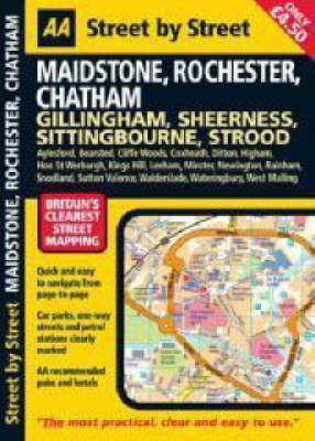
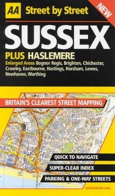
"Street by Street Maidstone, Rochester, Chatham Midi" has been fully updated with a stylish new cover design, in a handy glovebox size. Quick to navigate and easy-to-use, the maps clearly show AA recommended restaurants, pubs, hotels, one-way streets and car parks. Featuring a clever use of colour to ensure it can be read under street lighting, and National Grid referencing, "Street by Street Maidstone, Rochester, Chatham Midi" is all you need to keep you on the move.
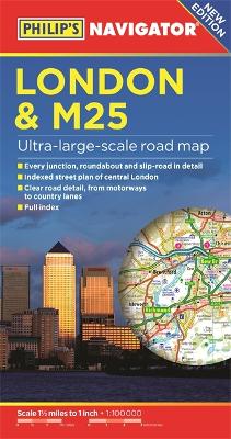
PHILIP'S BEST-SELLING RANGE OF BRITISH AND EUROPEAN MAPS'The clearest and most detailed maps of Europe' David Williams MBE, CEO, Gem Motoring Assist.- The perfect planning maps for your trip to France and Belgium- Scale 16 miles to 1 inch=1:1,000,000- Double-sided folded map with full index of place names- Super-clear mapping- All major routes shown- Detailed Navigator mapping of Chatham in the east to Maidenhead in the west, and from Hemel Hempstead in the north to Gatwick Airport in the south-...
This best-selling A4 format atlas is available in two binding styles, Hardback and Leather bound, with a scale of 3.2 miles to 1 inch. Each page has been titled with its geographical location so you can turn to the page you need more easily. Static speed camera locations with speed limits are pinpointed. Wide minor roads (more than and less than 4m wide), National Trust, English and World Heritage sites, crematorium locations and other hard-to-find places are also shown. There are is a comprehen...
This best-selling A4 format atlas is available in two binding styles, Hardback and Leather bound, with a scale of 3.2 miles to 1 inch. Each page has been titled with its geographical location so you can turn to the page you need more easily. Static speed camera locations with speed limits are pinpointed. Wide minor roads (more than and less than 4m wide), National Trust, English and World Heritage sites, crematorium locations and other hard-to-find places are also shown. There are is a comprehen...
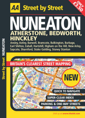
This series of practical street atlases aims to provide clear, legible mapping with the latest digital data for Britain from the Ordnance Survey. This atlas covers the Nuneaton area. Each atlas in the range features: National Grid referencing as well as the indexed "battleship" grid; AA Service Centres, recommended restaurants and camping sites; more area at a larger scale; easy-to-read street names; clear symbols; and a clearly designed index with coloured letter headers for quick reference.
"Excellent guides for leisure or business travelers." -- USA Today Looking for a Greenwich Village jazz club or a Broadway theater? A midtown restaurant or the nearest subway station? Wherever you want to go, Flashmaps will get you there quickly. First-time visitors or lifelong residents -- anyone can easily navigate New York with Flashmaps. The ultimate street and information finder Loads of useful information, from hospitals and colleges to bus and subway lines, zip codes, and more -- all loca...
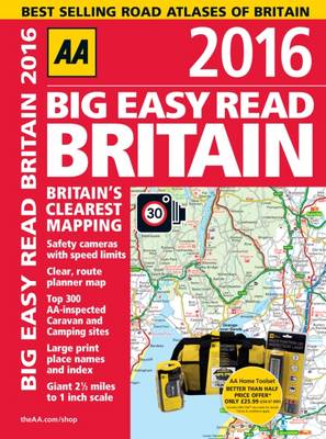
This A3 format atlas provides giant scale mapping (2.5 miles to 1 inch) and type throughout for easy route planning. Each page has been titled with its geographical location so you can turn to the page you need more easily. Static speed locations with speed limits are pinpointed and wide minor roads (more than 4m wide) are indicated. National Trust, English and World Heritage sites, crematorium locations and other hard-to-find places are also shown. There are 72 city, town and port plans includi...
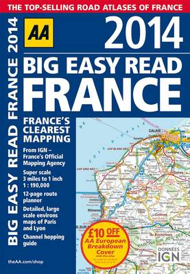
Fully revised and updated for 2014, this specialist easy-to-read, A3 road atlas designed for the British motorist in France includes 44 city, town and port plans central Paris city plan and district maps of Paris and Lyon. Coverage includes road mapping for Corsica plus there is a channel hopping guide, channel tunnel terminal and channel tunnel port plans. The atlas includes a 12-page route planner, over 18,500 tourist sites shown on the mapping and French place names used to match local road s...
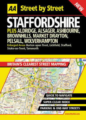
This series of practical street atlases aims to provide clear, legible mapping with the latest digital data from the Ordnance Survey. Each atlas features National Grid referencing, AA Service Centers, recommended restaurants and camping sites, easy-to-read street names and symbols, and a clearly designed index with colored letter headers for quick reference.
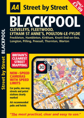
"Street by Street Blackpool Midi" has been fully updated for 2008 with a stylish new cover design, in a handy glovebox size. The maps clearly show AA recommended restaurants, pubs, hotels, one-way streets, 24-hour petrol stations and car parks. Quick to navigate and featuring a clever use of colour to ensure they can be read under street lighting, these maps are all you need to keep you on the move.
Using the latest digital data for Britain from Ordnance Survey and the AA, this colour street atlas provides clear information on the area. AA service centres are shown, recommended restaurants, pubs and hotels are highlighted, as well as AA secured car parks and clearly marked one-way streets.
Map Use (Map Use, #8)
by Jon Kimerling, Phillip C. Muehrcke, Juliana O. Muehrcke, and Alison Buckley
Map Use: Reading, Analysis, Interpretation, seventh edition, is a comprehensive, foundational textbook designed for the college curriculum. Now updated with a new section on map interpretation, Map Use provides students with the knowledge and skills to read and understand maps, and offers professional cartographers a thorough reference resource. Nearly 600 full-color maps, photographs, and graphs illustrate the concepts behind communicating with maps, while an extensive glossary and resource DV...
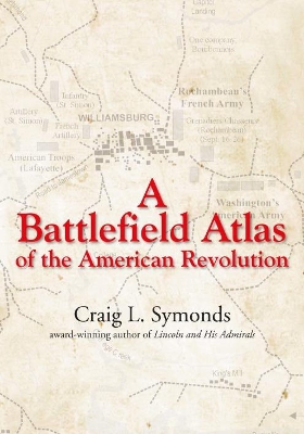
Back in print! A visual and narrative overview of the principal military engagements of the American Revolutionary War. Symonds narrates each battle in a clear, concise, and readable way. Accompanying two-color, full-page maps make everything easy to understand, and make this book an ideal classroom text, battlefield tour guide, or library reference.
Irish Historic Towns Atlas Volume II (Irish Historic Towns Atlas, Bound Volume II)
by Arnold Horner, R. H. Buchanan, Anthony Wilson, and K.M. Davies
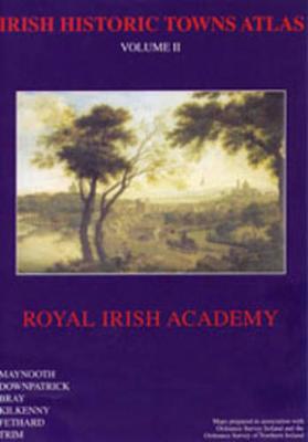
Volume II brings together the first six towns of the Irish Historic Towns Atlas series, previously published as individual fascicles. These towns - Maynooth, Downpatrick, Kilkenny, Bray, Fethard, and Trim - illustrate characteristic periods of town formation in Ireland. Maps are presented in large format and include facsimiles of old plans, historical reconstructions and thematic maps. Topographical views, illustrations, and photographs provide additional artistic perspectives. Each town/city in...
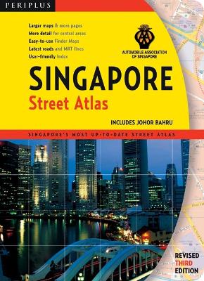
Finding your way around Singapore has never been easier! This superior atlas has been designed to fit the needs of Singapore residents and visitors-to assist them in quickly finding their way. SINGAPORE'S FIRST AND ONLY TRUE STREET ATLAS. Designed with the user in mind. Logical, clear, informative-from Periplus, Asia's leading book and map publisher. LESS PAGE FLIPPING. More maps and larger size maps reduces flipping between pages to locate your destination. This atlas is designed at the ideal...
