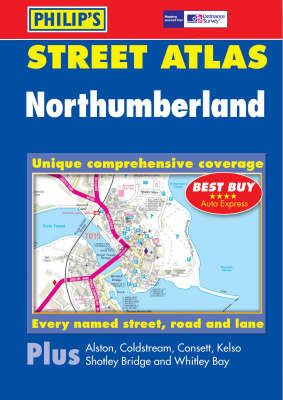
A brand new colour atlas of Northumberland, giving the only comprehensive, detailed coverage of the region. No other atlas shows every street in Northumberland.The mapping is produced by Ordnance Survey and gives the user complete coverage of all urban and rural areas. The mapping is at a scale of 13/4 inches to 1 mile (11/3 inches to 1 mile in the pocket edition) with larger scale mapping of 31/2 inches to 1 mile (22/3 inches to 1 mile in the pocket edition) in urban areas. The mapping is also...
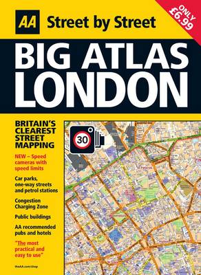
This A3, large format street atlas of London has been fully updated for 2010. Keeping you on the move in the city, the maps clearly show AA recommended restaurants, pubs, hotels, one-way streets and car parks and feature a clever use of color to ensure they can be read under street lighting. The atlas also includes an M25 motorway map and London Underground map.
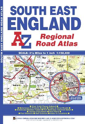
South East England Regional A-Z Road Atlas
by Geographers' A-Z Map Company
This A-Z map of South East England is a full colour regional road atlas featuring 46 pages of continuous road mapping extending from Banbury and Felixstowe to the south coast, and from Oxford and Southampton to Margate and Clacton-on-Sea in the east. Road map detail is shown at a clear 2.5 miles to 1 inch scale (1.58 km to 1 cm) and includes the following features:*Motorways open with full junction detail, motorways under construction and proposed, service areas, primary routes and des...
Updated annually, the AAA Road Atlas is the most reliable atlas money can buy. Contains complete coverage of the United States, Canada, and Mexico. -- Large size maps are easy to read and offer incredible detail -- 58,400 cities and towns indexed - more than any other road atlas -- Over 270 inset maps of cities, special recreational areas, and national parks -- City-to-city distance table -- Same page indexing - no more flipping back and forth to find where you want to goAAA's exclusive Driving-...
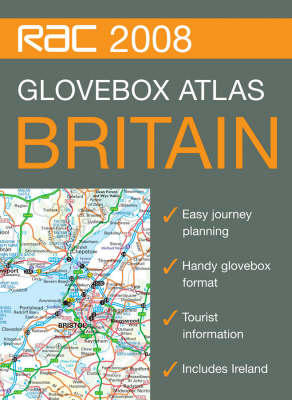
The handy A5 format of this spiral bound atlas makes it the ideal travelling companion. It has clear, route planning maps and fits neatly into the glovebox, pocket or bag. It is a superb back up for SatNav users and those travelling by public transport. Britain mapping is at 9.9 miles to 1 inch and urban area maps of London, Birmingham, Manchester and Merseyside are at 4.5 miles to 1 inch. Key features include: distance charts for Britain and Ireland, physical relief shading, and places of inter...
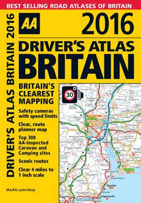
Handy, glovebox sized road atlas, combining large-scale mapping (4 miles to 1 inch) with an easy-to-carry A5 format. Each page has been titled with its geographical location so you can turn to the page you need more easily. Static speed camera locations with speed limits are pinpointed on the mapping. There is also a full-colour admin map showing all the latest unitary authority areas, easy-to-use mileage chart and clear easy-to-read index with more than 23,000 place names including airports, to...
In an attempt to outflank the German Gustav Line running across Italy, Operation SHINGLE was launched on January 22nd 1944. Achieving complete surprise, the Allies made a successful landing at Anzio, but paused rather than pushing quickly inland, a delay which gave the Germans time to seal off the area and to counterattack the beachhead. Heavy fighting took place until early March, during which the Americans and British were nearly driven into the sea, after which a stalemate was reached. In the...
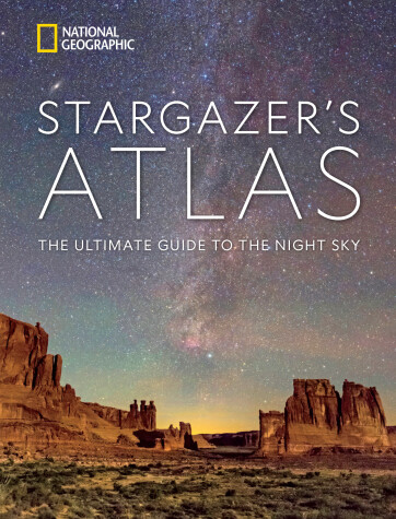
Richly illustrated with a luminous and informative collection of maps, photographs, and graphics, this atlas is the perfect companion for exploring the wonders of the universe as viewed from Earth. This expansive illustrated atlas invites readers to roam the night sky for constellations, planets and moons, eclipses, comets and meteor showers, auroras, and deep-sky treasures including nebulae and galaxies-many visible to the naked eye and all with binoculars or a backyard telescope. Beginning w...
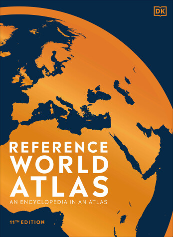
Discover a truly in-depth portrait of our planet, in this lovingly illustrated and recently updated World Atlas Reimagined and completely updated to encompass recent world events, this large-format reference atlas offers an encyclopedic view of the whole world. It will delight and inspire any cartophile or map lover! This stunning visual atlas of the world reveals our planet in more detail than ever before! It includes: • More than 640 high-definition world maps based on the latest digital...
