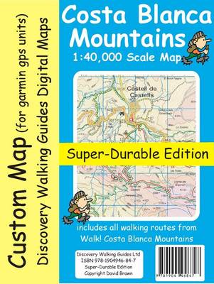
Costa Blanca Mountains Tour & Trail Custom Map is the digital edition of isbn 9781904946847 Costa Blanca Mountains Tour & Trail Map Super-Durable Edition for use on Garmin gps units that have Custom Maps capability. Thanks to all the walking research carried out by Charles Davis for his new Walk! the Costa Blanca Mountains guide book plus gps ground surveys carried out by David & Ros Brawn we have been able to a new Costa Blanca Mountains Tour & Trail Super-Durable Map. This new Costa Blanca Mountains Tour & Trail Super-Durable Map is the essential purchase for everyone looking to explore the exciting mountainous hinterland on the Costa Blanca. Whether you are exploring on foot, bike or horse this is your first choice map for accurate navigation on roads and as soon as you leave the tarmac. Scale 1:40,000 2.5cms = 1km. Map size; double-sided 780mm by 600mm folded to 21cm by 12cm. Roads; Motorway, major roads, secondary roads, minor roads & tarmacked lanes including latest road numbering system. Tracks & Trails; Unsurfaced (dirt) roads and walking trails. Heights; 100 & 20 metre contours, height & trig points in metres, height background colours in 200 metre colour bands.
UTM 1km Grid with WGS84 Datum. Published Walking Routes; 'red dashed line' walking routes 'tracked' onto the map from the new Walk! the Costa Blanca Mountains.
- ISBN10 1782752021
- ISBN13 9781782752028
- Publish Date 8 January 2014
- Publish Status Out of Print
- Out of Print 5 May 2015
- Publish Country GB
- Imprint Discovery Walking Guides Ltd
- Format eBook
- Language English
