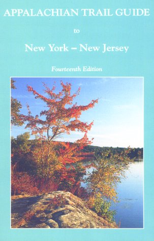
Fourteenth Edition, 1998. Covers 174 miles from Kent, Connecticut, to Delaware Water Gap National Recreation Area on the New Jersey -- Pennsylvania line. Six four-color topographic maps with elevation profiles; scale, 1:36,000. 212 pages.
- ISBN10 1889386014
- ISBN13 9781889386010
- Publish Date 1 June 1999
- Publish Status Unknown
- Out of Print 4 February 2014
- Publish Country US
- Imprint Appalachian Trail Conference,U.S.
- Edition 14th edition
- Format Paperback
- Pages 212
- Language English