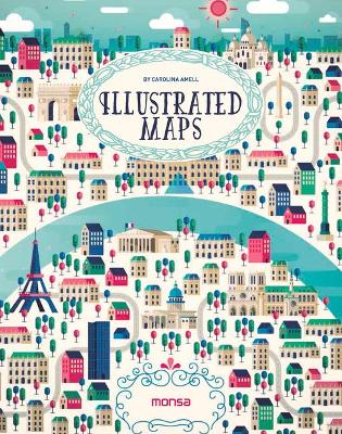
This book is a selection of different ways to interpret a map at the illustrative level. Several artists have created maps of the worlds most beautiful places and also its main cities, including Paris, Berlin, Dubai, Rio de Janeiro, and more. They are colourful illustrations in which each artist shows us his or her own way of working with lines and geometrical shapes, some very detailed or synthesised, some using computers or watercolours, and some simply using a pen.
- ISBN10 8416500266
- ISBN13 9788416500260
- Publish Date 30 June 2016
- Publish Status Unknown
- Publish Country ES
- Imprint Instituto Monsa de Ediciones
- Format Hardcover
- Pages 192
- Language English