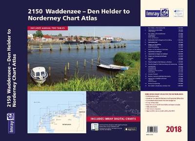
Covering the area from Den Helder to Nordeney, the atlas has updated colours for easy navigation of shallow areas within the Waddenzee, as well as the North Sea coast and coastal islands.
Included in the atlas are all of the navigational charts and tidal data required for passage and approach.
Charts in the atlas include
1. Den Helder to Eierlandsche Gat (1:100 000)
2. Approaches to Den Helder (1:50 000) includes plan Den Helder (1:20 000)
3. Den Helder to Kornwerderzand (1:75 000) includes plans Oudeschild (1:15 000), Den Oever (1:25 000) and Kornwerderzand (1:25 000)
4. Eierlandsche Gat to Zeegat van Terschelling (1:100 000)
5. Eierlandsche Gat (1:50 000)
6. Zeegat van Terschelling (1:35 000) includes plans Vlieland Haven (1:15 000) and West-Terschelling (1:20 000)
7. Zeegat van Terschelling to Harlingen (1:75 000)
8. Approaches to Harlingen (1:25 000)
9. Approaches to Zeegat van Ameland ( 1:100 000)
10. Zeegat van Ameland to Harlingen (1:75 000)
11. Ameland (1:50 000) includes plan Nes (1:20 000)
12. Friesche Zeegat to the Entrance to the Eems (1:100 000)
13. Friesche Zeegat to Schiermonnikoog and Lauwersoog (1:40 000)
14. Lauwersmeer (1:30 000) includes plans Lauwersoog (1:12 500), Oostmahorn (1:12 500), Dokkumer Nieuwe Zijlen (1:12 500), Zoutkamp (1:12 500)
15. Lauwers Channel (1:50 000)
16. Borkum, Osterems and Oude Westereems (1:75 000)
17. Approaches to Delfzijl and Emden (1:50 000) includes plans Delfzijl (1:20 000) and Termunterzijl (1:10 000)
18. Borkum to Norderney (1:100 000)
19. Den Helder to Norderney overview chart (1:400 000)
- ISBN13 9781846239823
- Publish Date 7 March 2018
- Publish Status Out of Print
- Out of Print 10 April 2021
- Publish Country GB
- Imprint Imray, Laurie, Norie & Wilson Ltd
- Edition New edition
- Format Paperback
- Pages 19
- Language English
