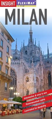
"Flexi Map Milan" is a laminated, tear-resistant map which includes 3 maps, each accompanied by its own index. The main map depicts Milan at a scale of 1:14 000 and the index has been categorized for ease of use. Streets are named along with public buildings, selected hotels and numerous places of interest. The Milan area map can be found on the reverse showing the various routes into the city by road and rail. A detailed Metro plan is located on the back cover for easy reference. Also included is a map of the wider area, which extends north to include Lake Maggiore and Lake Como. This map is shown at a scale of 1:350 000 and highlights numerous points of interest and National Parks in the region. In addition to the road and rail networks, it also provides a detailed picture of the topography through the use of relief shading with many mountain heights given. Intermediate distance indicators are given on the main routes. "Flexi Map Milan" also gives a list - with descriptions and some photographs - of 28 recommended sights, divided by theme and linked to the mapping by numbered markers. There is also a handy information section with concise details on getting around, tourist offices, money, tipping, opening times, public holidays, telecommunications, emergency telephone numbers and climate.
- ISBN13 9781780054599
- Publish Date 2 April 2013
- Publish Status Out of Print
- Out of Print 6 April 2017
- Publish Country GB
- Publisher APA Publications
- Imprint Insight Guides
- Edition 4th edition
- Format Paperback
- Pages 2
- Language English
