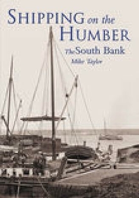
The River Humber has been used for commercial navigation for centuries and remains today as one of the busiest stretches of waterway in Britain. Several books on the Humber concentrate on Hull, almost to the exclusion of the South Bank of the river. This collection of images, dating from the late nineteenth century to the present day, is arranged topographically: travelling from Louth and Cleethorpes upriver to the Ouse/Trent confluence. Over 150 illustrations feature keels, sloops, lighters and motor barges, all of which have been present in steadily declining numbers over the past five decades, together with the Lincolnshire boatyards where many of them were built and maintained. Other small craft are also included, such as dredgers, cross-rover ferries, pilot boats, tugs and some sea-going craft, as well as images of the docks and waterways themselves. Maps and photographs of several locations have been selected to feature aspects of the Ancholme Navigation and Louth Navigation, as well as the waterside areas of Grimsby, Immingham, New Holland, Barrow Haven, Barton Waterside, Brigg, Ferriby Sluice, Winteringham Haven, and inevitably, Hull, with which they all have had cross-Humber links.
- ISBN10 0752427806
- ISBN13 9780752427805
- Publish Date 1 February 2003
- Publish Status Active
- Out of Print 28 May 2024
- Publish Country GB
- Imprint The History Press Ltd
- Format Paperback
- Pages 128
- Language English
- URL http://thehistorypress.co.uk/products/Shipping-on-the-Humber-The-South-Bank.aspx