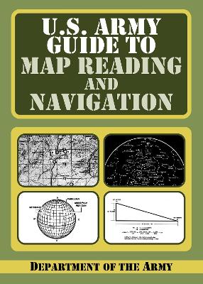
For soldiers in the field, or for campers, hikers, fishermen, and hunters, a basic knowledge of map and compass work is essential for safety. This is the official US Army guide, but it can and should be read by anyone who spends time in the outdoors.
This practical easy-to-understand official manual requires no prior knowledge for anyone just beginning to learn how to find their way in the outdoors. Sections here cover:
- Map care
- Comprehension of map symbols
- Military symbols
- Grid reference systems
- Interpretation of aerial photographs.
After the basics are covered, the second half moves to land navigation - varying terrains, elevations, day-night variations. Map and compass work is thoroughly explained. Finally, extreme scenarios - desert, mountain, jungle, arctic, and urban terrains - are all explained and detailed.
"The purpose of this field manual is to provide a standardized source document for Army-wide reference on 'map reading' and 'land navigation'. This manual applies to every soldier in the Army regardless of service branch, MOS, or rank. This manual also contains both doctrine and training guidance on these subjects. Part One addresses map reading and Part Two, land navigation. The appendixes include a list of exportable training materials, a matrix of land navigation tasks, an introduction to orienteering, and a discussion of several devices that can assist the soldier in land navigation."
- ISBN10 1602397023
- ISBN13 9781602397026
- Publish Date 13 August 2009
- Publish Status Transferred
- Publish Country US
- Imprint Skyhorse Publishing
- Format Paperback (US Trade)
- Pages 192
- Language English
