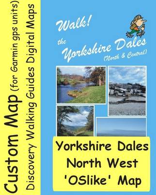
OSlike Custom Map, 25k scale, of the North West Yorkshire Dales which can be used in Google Earth, Garmin Basecamp and Garmin gps units. Walk! the Yorkshire Dales (North & Central) guidebook routes are highlighted, and numbered with direction arrows. Available to buy and download from Discovery Walking Guides website www.dwgwalking.co.uk Walk! Yorkshire Dales N&C (John & Judi Johnson) walking routes included in full on this map (highlighted in purple) include 18, 19, 20, 21, 22, 23, 24, 25, 26, 27, 31, 32, 33, 34, 35, 36, 37, 38, 39 and 40. Map area coordinates are 54.213886E North 1.911664E West to 54.470038E North 2.351074E West (Datum WGS84). Yorkshire Dales North West OSlike Custom Map can be viewed in Google Earth, simply double click the file name and the map will open in GE as a transparent map draped over the GE terrain map. Yorkshire Dales North West OSlike Custom Map can be loaded in to your 'My Collection' of maps in Garmin Basecamp and when selected will open as a solid flat map over the Garmin base map. Custom Maps can be used in Garmin mapping gps units to give you real time mapping on your gps.Simply format a microSD card with a Garmin folder, and then put a Custom Maps folder inside the Garmin folder, then copy the OSlike Custom Map into the Custom Maps folder, put the microSD card into your Garmin and switch on.
- ISBN13 9781782752264
- Publish Date 17 March 2014
- Publish Status Out of Print
- Out of Print 22 January 2021
- Publish Country GB
- Imprint Discovery Walking Guides Ltd
- Format eBook
- Language English
