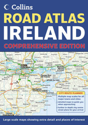
Scale 1:200,000 (3.2 miles to 1 inch). Brand new road mapping has been created for this A4 road atlas of Ireland, featuring attractive layer colouring to show land height. Along with the road mapping there is also a wide range of detailed town and city centre plans, all of which are fully indexed. MAIN FEATURES Detailed, general purpose road map of Ireland in a handy A4 format. Ideal for both business and pleasure use. The atlas contains a range of mapping scales from a 1:1 million route planning map through to detailed town centre street plans. The main road mapping is packed with detail showing: / comprehensive colour classified road network / toll roads clearly marked / land height shown by the use of attractive layer colouring / Tourist information centres and offices clearly shown / wide range of tourist features plotted and categorized using symbols There is also a wide range of fully indexed town and city centre maps. These include: Bangor Belfast Cork Drogheda Dublin Dun Laoghaire Galway Killarney Limerick Londonderry (Derry) Waterford WHO THE TITLE IS OF INTEREST TO This is a general purpose map for those who want a high level of mapping detail at a variety of scales.
AREA OF COVERAGE Covers the whole of the Republic of Ireland plus Northern Ireland.
- ISBN10 000719191X
- ISBN13 9780007191918
- Publish Date 7 March 2005
- Publish Status Out of Print
- Out of Print 8 May 2008
- Publish Country GB
- Publisher HarperCollins Publishers
- Imprint Collins
- Format Paperback
- Pages 100
- Language English
- URL http://harpercollins.co.uk