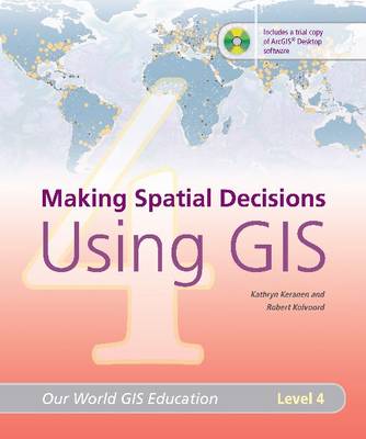
"Making Spatial Decisions Using GIS" features real-world activities that stress the use of GIS in problem solving and decision making. Designed for high school and college students, the lessons in this book build on the rich array of GIS tools available, enabling the students to perform sophisticated analyses in a variety of content areas, including law enforcement, demographics, and natural disasters. The projects in this book encourage readers to make not only helpful maps but also informed decisions. Each of the five modules include exercises with step-by-step instructions, exercises with less-structured direction, and ideas for independent study.
- ISBN10 1589481836
- ISBN13 9781589481831
- Publish Date 1 June 2008
- Publish Status Out of Print
- Out of Print 11 April 2011
- Publish Country US
- Publisher ESRI Press
- Imprint Environmental Systems Research Institute Inc.,U.S.
- Format Paperback
- Pages 212
- Language English
