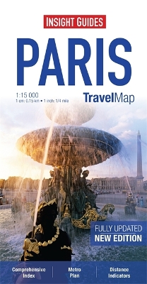
"Travel Map Paris" is an indexed, street map at 1:15 000. There is also an overview map of the Paris area at 1:800 000 which shows the main routes into the city by road and rail. In addition there is a Paris Environs Map at 1:200 000 and a detailed Metro plan. Places of interest, including tourist offices, castles and ruins, places of worship, museums, theatres, shopping centres, parks and gardens are highlighted. The majority of roads are named and major roads are numbered. Handy distance indicators, located in the margin, give distances to the nearest town, major locations and motorway junction, if applicable. The extensive legend is shown in 8 languages.
- ISBN13 9781780054902
- Publish Date 2 April 2013
- Publish Status Out of Print
- Out of Print 26 October 2015
- Publish Country GB
- Publisher APA Publications
- Imprint Insight Guides
- Edition 4th Revised edition
- Format Paperback
- Pages 1
- Language English
