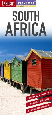
Fleximap South Africa includes 3 detailed maps. The main map Africa (1 : 3 750 000) covers the entire country, with an inset of the continent of Africa, and ) includes useful tourist information and points of interest. The city maps of Johannesburg and Cape Town are at a scale of 1 : 17 500 and show the tourist areas, again with points of interest and general tourist information clearly marked. In addition to the mapping, Fleximap South Africa also includes a list - with descriptions and photographs - of 39 recommended sights, divided by theme and linked to the mapping by numbered markers. There is also a handy information section with concise details on getting around the country, tourist offices, money, tipping, opening times, public holidays, telecommunications, emergency telephone numbers, and climate.
- ISBN13 9781780053486
- Publish Date 1 October 2011
- Publish Status Out of Print
- Out of Print 25 February 2016
- Publish Country GB
- Publisher APA Publications
- Imprint Insight Guides
- Edition 2nd edition
- Format Paperback
- Pages 1
- Language English
