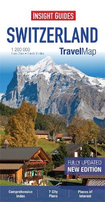
"Travel Map Switzerland" is a double-sided, indexed, road map at 1:200 000. It includes detailed city plans of Basel, Bern, Geneva, Lausanne, Lucerne, St Gallen and Zurich. In addition to the road and rail networks, ferry routes and airports, this map provides an overview of the topography through the use of relief shading, with mountain ranges named and peak heights given. Mountain passes show gradients for steep ascents and roads closed to motor vehicles are clearly marked. Places of interest, including castles and ruins, churches, museums and heritage sites are highlighted. Handy distance indicators, located in the margin, give distances to the nearest town, major locations and motorway junction, if applicable. Intermediate driving distances are marked on main roads. The extensive legend is shown in 8 languages.
- ISBN13 9781780054940
- Publish Date 2 April 2013
- Publish Status Out of Print
- Out of Print 4 March 2021
- Publish Country GB
- Publisher APA Publications
- Imprint Insight Guides
- Edition 4th Revised edition
- Format Paperback
- Pages 2
- Language English