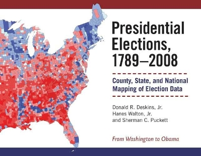
From Washington to Obama, this is the single best source on U.S. presidential elections. ""Presidential Elections"" is an almanac of the popular vote in every presidential election in American history, analyzed at the county level. Most Americans are familiar with the crude red state/blue state maps used by commentators and campaign strategists - and even, for want of an alternative, by many academics. In providing a higher-resolution view of voting behavior than we have ever had before, the authors of this new volume enable us to see local and regional political trends that are invisible in state-level aggregations. ""Presidential Elections"" will enable scholars to more subtly analyze voting behavior, campaigns, and presidential politics; commentators will use it to analyze trends and trace the historical evolution of new coalitions and voting blocs; strategists will use it to plan campaigns and mobilize constituencies. The data for each election presented in a stunning four-color map and a set of graphs accompanied by a brief history of the campaign will become the standard almanac on the subject: a required resource for academic and public libraries, as well as for scholars, consultants, and pundits nationwide.
- ISBN13 9780472116973
- Publish Date 28 February 2010
- Publish Status Active
- Publish Country US
- Imprint The University of Michigan Press
- Format Hardcover
- Pages 500
- Language English
