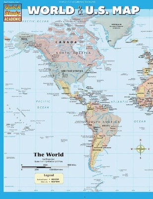
Most up-to-date, inexpensive, durable and beautiful maps of the World and the United States available anywhere. This handy notebook sized laminated map folds out to 11 by 17 inches with the World on one side and the U.S. on the other, plus an additional page of World & U.S. statistics and trivia for each map. A scaled down replica and companion to our 50 by 32 inch wall poster map with as much info as could be retained on this smaller size. Perfect for students of all ages and anyone interested in expanding their knowledge of the United States and the World. Classroom bonus -- the large wall map can be used for the whole class while students reference their individual maps at their desks (lamination makes for durable classroom sets). Guide Includes: United States map Satellite imaged topography of the U.S. States & state capitals Cities labeled by human population National parks & preserves Man-made waterways, swamps & marshlands Time zone boundaries World map National capitals & large cities Satellite imaged topography of the World Distance & scale Extremely detailed boundaries and coastlines
- ISBN10 1423220536
- ISBN13 9781423220534
- Publish Date 31 May 2013
- Publish Status Active
- Publish Country US
- Imprint Barcharts, Inc
- Format Paperback
- Pages 6
- Language English