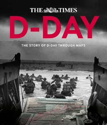
Follow the D-Day landings through a unique collection of historical maps, expert commentary and dramatic photographs. This is a unique insight into the D-Day landings 70 years on.
Over 90 maps demonstrate how the D-Day landings unfolded, and are accompanied by detailed descriptions of what happened on that momentous day. The Allied landings in Normandy on 6 June 1944 were the greatest amphibious assault in history, requiring almost two years of meticulous planning and the largest co-ordinated mapping effort the world has ever seen.
Key maps include:
* Top-secret maps of Normandy with overprints showing the
beach defences.
* Plans of the Allied deception schemes.
* Detailed maps of all five landing beaches, including OMAHA
and UTAH.
* Chart of the armada's route across the English Channel.
* Maps showing the Allied Forces' movements as they pushed across France towards Berlin and VE Day.This collection of incredible maps uncover the events that led up to D-Day, the planning for the assault and the progress of the liberating forces afterwards. Dramatic photographs help to illustrate the key historical events that took place during Operation Overlord.
- ISBN13 9780007592838
- Publish Date 9 October 2014
- Publish Status Out of Print
- Out of Print 19 March 2021
- Publish Country GB
- Imprint Times Books
- Format Hardcover
- Pages 208
- Language English
- URL http://collins.co.uk
