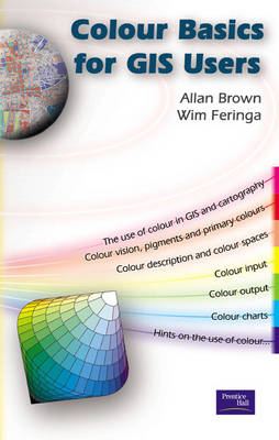
An essential handbook that provides a step-by-step guide to the use of colour for GIS users and cartographers. All GIS users face the task of visualising the results of complex analysis, but the wealth of options available can be overwhelming. Even if a user manages to pick suitable colours on screen, the printed result often proves inaccurate and unusable. Brown and Feringa have put together a concise guide to the use of colour for all GIS users, cartographers and those involved in remote sensing. The handbook explains the importance of colour, how it can be input, then manipulated, and most importantly, displayed. The authors also include an essentail colour chart produced by the ITC - this colour chart is the definitive version used by GIS users worldwide.
- ISBN10 0130333433
- ISBN13 9780130333438
- Publish Date 10 September 2002
- Publish Status Out of Print
- Out of Print 12 August 2009
- Publish Country GB
- Imprint Pearson Education Limited
- Format Paperback
- Pages 184
- Language English
