Rapid advances in digital camera technology, real-time satellite differential global positioning systems, and digital imaging from airborne platforms have yielded new opportunities for on-the-fly, in situ digital mapping when used in conjunction with state-of-the-art digital photogrammetric workstations. Written by active participants in the promotion of airborne digital mapping systems, Digital Aerial Survey: Theory and Practice is a comprehensive manual that examines the systems available fo...
Remote Sensing of Geomorphology (Developments in Earth Surface Processes)
Remote Sensing of Geomorphology, Volume 23, discusses the new range of remote-sensing techniques (lidar, structure from motion photogrammetry, advanced satellite platforms) that has led to a dramatic increase in terrain information, and as such provided new opportunities for a better understanding of surface morphology and related Earth surface processes. As several papers have been published (including paper reviews and special issues) on this topic, this book summarizes the major advances in r...
This new edition of this highly-respected textbook provides a full and authoritative introduction for scientists, both students and professionals, needing to know the scope, potential and limitations of remote sensing. Chapters on satellite systems and on applications are given greater coverage than before and this material has been considerably updated. Key features: Comprehensively surveys the basic principles of remote sensing physics, techniques and technology Outlines data acquisition,...
Earth Observation, Public Health and One Health
This book focuses on the potential for Earth Observation (EO) to contribute to public health practice. Remote sensing experts from the EO community together with epidemiologists, modelling experts, policy makers, managers and public health researchers gathered at the One Earth-One Health workshop held at the Canadian Earth Observation Summit in Montreal in 2017. They shared how EO is being used to understand, track, predict, and manage infectious diseases and discussed the challenges and signifi...
Spaceborne Sensors III (Proceedings of SPIE)
Proceedings of SPIE present the original research papers presented at SPIE conferences and other high-quality conferences in the broad-ranging fields of optics and photonics. These books provide prompt access to the latest innovations in research and technology in their respective fields. Proceedings of SPIE are among the most cited references in patent literature.
Based on the proceedings of a symposium, this volume aims to provide a state-of-the-art discussion on the use of the Global Positioning System (GPS), in combination with Inertial Navigation Systems (INS), for the detailed sensing of the Earth's surface. Divided into two parts, the book first discusses GPS/INS with respect to theory and modelling, equipment trends, estimation methods and quality control, algorithms and software trends. It then describes the applications of these kinematic systems...
Light Scattering Reviews 4 (Environmental Sciences) (Springer Praxis Books)
by Alexander A. Kokhanovsky
This fourth volume of Light Scattering Reviews is composed of three parts. The ?rstpartisconcernedwiththeoreticalandexperimentalstudiesofsinglelightsc- tering by small nonspherical particles. Light scattering by small particles such as, for instance, droplets in the terrestrial clouds is a well understood area of physical optics. On the other hand, exact theoretical calculations of light scattering p- terns for most of nonspherical and irregularly shaped particles can be performed only for the r...
Foundations for Innovative Application of Airborne Radars (SpringerBriefs in Earth Sciences)
by Alexey Nekrasov
The 'wind vector' - wind speed and direction - is a main meteorological quantity and relevant for air-sea exchange processes. This book explores the use of several airborne microwave instruments, some of which are part of standard aircraft equipment, in determining the local wind vector over water. This is worthwhile as local wind information is usually only available at measurements sites like weather stations and airports, and global wind information from satellites has very coarse resolution...
Remote Sensing of Cultivated Lands in the South of Sweden
by K.Hall- Konyves
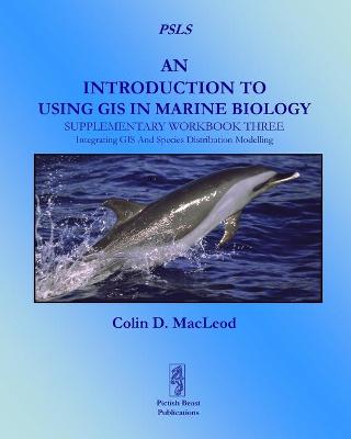
An Introduction to Using GIS in Marine Biolog: Supplementary Workbook Three
by Colin D. MacLeod
Database Issues in Geographic Information Systems (Advances in Database Systems, #6)
by Nabil R. Adam and Aryya Gangopadhyay
Geographic Information Systems (GIS) have been experiencing a steady and unprecedented growth in terms of general interest, theory development, and new applications in the last decade or so. GIS is an inter-disciplinary field that brings together many diverse areas such as computer science, geography, cartography, engineering, and urban planning. Database Issues in Geographic Information Systems approaches several important topics in GIS from a database perspective. Database management...
This book provides state-of-the-art information on photogrammetry for cultural heritage, exploring the problems and presenting solutions that are applicable under real-world conditions and in various disciplines. Allowing readers to gain a basic understanding of cultural heritage documentation and practical image-based modelling techniques, it focuses on the use of photogrammetry to enhance the documentation of historic buildings in order to reflect the international trends and meet demands of t...
Fifty years after Sputnik, artificial satellites have become indispensable monitors in many areas, such as economics, meteorology, telecommunications, navigation and remote sensing. The specific orbits are important for the proper functioning of the satellites. This book discusses the great variety of satellite orbits, both in shape (circular to highly elliptical) and properties (geostationary, Sun-synchronous, etc.). This volume starts with an introduction into geodesy. This is followed by a pr...
The Java programming language has been one of the most exciting internet-friendly technologies to emerge in the last decade. Java Programming for Spatial Sciences introduces the subject to those who wish to use computers to handle information with a geographical element.The book introduces object-oriented modeling including key concepts suc
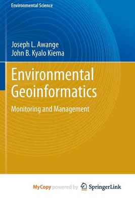
Environmental Geoinformatics (Environmental Science) (Environmental Science and Engineering)
by Joseph L. Awange and John B Kyalo Kiema
There is no doubt that today, perhaps more than ever before, humanity faces a myriad of complex and demanding challenges. These include natural resource depletion and environmental degradation, food and water insecurity, energy shortages, diminishing biodiversity, increasing losses from natural disasters, and climate change with its associated potentially devastating consequences, such as rising sea levels.These human-induced and natural impacts on the environment need to be well understood in o...
Moving Object Detection and Segmentation for Remote Aerial Video Surveillance
by Michael Teutsch
Satellite Monitoring of the Earth (Remote sensing & image processing)
by Karl-Heinz Szekielda
"Satellite Monitoring of the Earth" is a concise survey of the state-of-the-art in satellite remote sensing of the Earth, incorporationg a multidisciplinary approach to the diverse fields which employ satellite technology. It presents a chronological account of satellite platforms and selected sensors, and discusses interactions between energy and atmospheric constituents. The book also describes spectral signatures of objects, concepts in data interpretation, and various aspects of observations...
Airborne Remote Sensing of Coastal Water (R & D Report, #4)
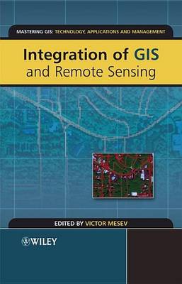
In an age of unprecedented proliferation of data from disparate sources the urgency is to create efficient methodologies that can optimise data combinations and at the same time solve increasingly complex application problems. Integration of GIS and Remote Sensing explores the tremendous potential that lies along the interface between GIS and remote sensing for activating interoperable databases and instigating information interchange. It concentrates on the rigorous and meticulous aspects of an...
