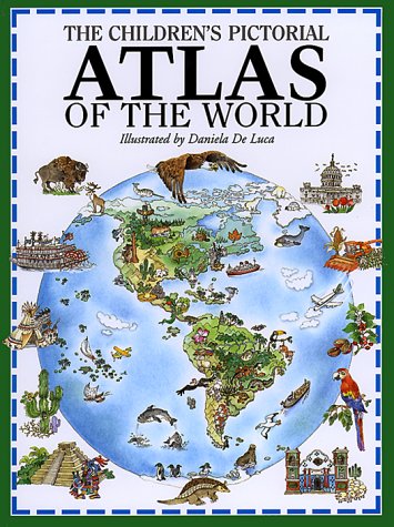
Fourteen full-color, two-page spreads present wonderfully detailed maps of the following places: -- The World -- Canada, Alaska, Greenland, and the North Pole -- The United States -- Mexico and Central America -- South America and the South Pole -- Northern Europe -- Central Europe -- Mediterranean Europe -- Eastern Europe and Russia to the Urals -- The Middle East -- Central and Eastern Asia -- Southern Asia -- Northern Africa -- Southern Africa -- Australia and Adjacent South Pacific Islands. All maps show major landmarks and cities, and use scores of small locator illustrations to show economic and cultural features. An interactive text asks young readers to find and identify cities, animals, rivers, mountains, and other noteworthy features.
- ISBN10 0764150626
- ISBN13 9780764150623
- Publish Date 1 September 1998
- Publish Status Out of Print
- Out of Print 27 January 2021
- Publish Country US
- Publisher Peterson's Guides,U.S.
- Imprint Barron's Educational Series Inc.,U.S.
- Format Hardcover
- Pages 43
- Language English