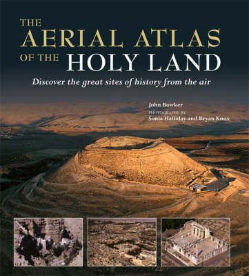
The ancient lands of Galilee, Samaria, and Judea stand at a crossroads in western and eastern history. Sites such as Jerusalem, Bethlehem, and Nazareth exert a huge pull over millions of Christian and Muslim pilgrims, and countless others who dream of making such a journey themselves - fascinated by the area's unparalleled historical and religious heritage. "The Mitchell Beazley Aerial Atlas of the Holy Land" manages to do unique justice to the beauty, mystery, and grandeur of the region. It offers the reader a series of breathtaking aerial portraits and fascinating maps of 25 key sites dating from Biblical times to the Muslim Conquest, together with the landscape and sites that surround them. The result is a beautiful and useful reference work on one of history's most fascinating locations.
- ISBN10 1845333403
- ISBN13 9781845333409
- Publish Date 15 October 2008 (first published 10 October 2008)
- Publish Status Out of Print
- Out of Print 17 November 2010
- Publish Country GB
- Publisher Octopus Publishing Group
- Imprint Mitchell Beazley
- Format Hardcover
- Pages 256
- Language English