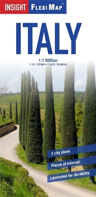
"Flexi Map Italy" is a double-sided, laminated, road map at a scale of 1:1 Million (1cm = 10km). The tear-resistant finish makes it durable and easy to fold. The extensive index has separate listings for place names and significant points of interest. There are approximately 900 points of interest marked on the map, including National Parks, waterfalls, caves, historical and religious sites, sport and leisure venues, and festival sites. Each one is accompanied by a pictorial symbol for instant recognition - the legend lists over 90 different symbols and is shown in 4 languages. Detailed city plans of Milan, Rome and Venice are included at a scale of 1:15 000 (1cm = 0.15km) on which selected public buildings, hotels, places of interest, Metro stations and routes are marked and named. In addition to the road and rail networks, ferry routes and airports, this map provides an overview of the topography through the use of relief shading, with mountain ranges named and peak heights given. When unfolded, "Flexi Map Italy" measures 143cm x 50cm.
- ISBN13 9781780056012
- Publish Date 3 June 2013
- Publish Status Out of Print
- Out of Print 27 July 2015
- Publish Country GB
- Publisher APA Publications
- Imprint Insight Guides
- Edition 2nd Revised edition
- Format Paperback
- Pages 2
- Language English
