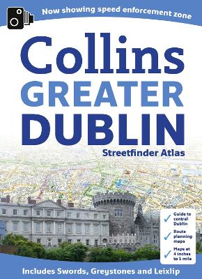
New larger format street atlas of Dublin. Clear, detailed street mapping of Greater Dublin, all fully indexed. Route planning map of whole of Dublin area at 8 miles to 1 inch. Main approaches map at 4 miles to 1 inch. The whole of Dublin mapped at 4.4 inches to 1 mile also includes detailed Central Dublin map.
A handy format street atlas of Greater Dublin with clear, detailed street mapping.
INCLUDES
* Clear colour coded street mapping.
* Speed enforement zones.
* Fixed safety cameras.
* High risk roads as defined by Garda and the National Roads Authority.
* Places of interest shown.
* Full index to street names.
* A comprehensive guide section giving details of Dublin's history, places to visit, local information and useful information for the visitor.AREA OF COVERAGE
Covers a large area of Dublin and its surrounding area including Swords, Greystones, Clonee and Malahide, Maynooth, Leixlip, Rathcoole, Ashbourne and Adamstown.
- ISBN13 9780007443062
- Publish Date 7 July 2011
- Publish Status Out of Print
- Out of Print 21 October 2014
- Publish Country GB
- Publisher HarperCollins Publishers
- Imprint Collins
- Edition New edition
- Format Paperback
- Pages 112
- Language English
- URL http://collins.co.uk