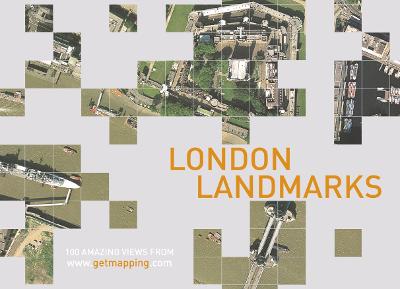
LONDON LANDMARKS is a unique compilation of 100 vertical aerial photographs of the capital's most noteworthy features. From Tower Bridge to Buckingham Palace, from Hampstead Heath to Canary Wharf, LONDON LANDMARKS uses Getmapping's unique aerial photography to bring a surprising new perspective to these well-loved places.
LONDON LANDMARKS takes a new look at the capital - from the air. From the Houses of Parliament to St Paul's Cathedral, from Tower Bridge to Richmond Park, the book takes a bird's eye view of all London's best known sites. Key information, facts and figures and descriptions of each site complement the spectacular aerial pictures.
The aerial mapping is extracted from Getmapping's Millennium Map. Inspired by the Domesday Book, Tristram Cary and Joe Studholme of Getmapping.com commissioned four specially equipped aircraft to fly the length and breadth of the country in strips - rather like a lawnmower - each one carrying state-of-the-art camera equipment valued at GBP250,000. These planes are systematically taking vertical photographs of the whole of the United Kingdom from an average height of 5,500 feet, recording every object right down to a minimum size of 25cm.
After processing, each photograph is scanned at high resolution, subsequently undergoing a process known as geo-correction, which removes distortions caused by the tilt of the aircraft and the contours of the ground; the individual files are then colour-balanced and spliced together to form a single map-accurate 'mosaic' of the entire country.
- ISBN13 9780007144167
- Publish Date 1 July 2002
- Publish Status Out of Print
- Out of Print 31 October 2003
- Publish Country GB
- Publisher HarperCollins Publishers
- Imprint HarperCollins Illustrated
- Format Hardcover
- Pages 128
- Language English
- URL http://harpercollins.co.uk