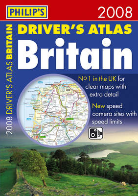
"Philip's Driver's Atlas Britain 2008" contains all the map features normally included only in the more expensive road atlases. The front section has a route planner, distance table, legend, street map of London, chart of motorway junctions with restricted access, plus a key map. The 96 pages of road maps cover Britain at 3 miles to 1 inch (Scottish Highlands and Western Isles at 4 miles to 1 inch, Orkney and Shetland at 5.25 miles to 1 inch). The maps clearly mark service areas, roundabouts and multi-level junctions, and in rural areas distinguish between roads over and under 4 metres wide - a boon for drivers of wide vehicles. The town plan section includes 53 town and city centre maps, marking car parks and places of interest. Completing the atlas is a comprehensive index of 28,000 place names.
- ISBN10 054009093X
- ISBN13 9780540090938
- Publish Date 28 May 2007
- Publish Status Out of Print
- Out of Print 4 June 2008
- Publish Country GB
- Publisher Octopus Publishing Group
- Imprint Philip's
- Format Paperback
- Pages 136
- Language English