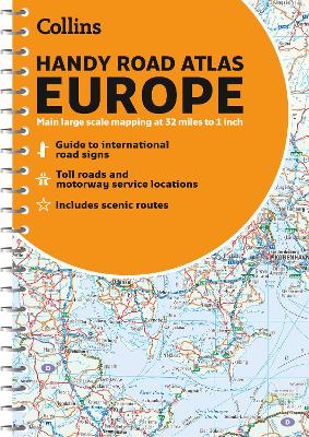
Explore Europe with this accurate and fully updated road atlas.A compact A5 size road atlas of Europe with lie-flat spiral binding. The ideal format for both drivers and anyone travelling on public transport. Easily fits in a glovebox or bag. All scenic routes are plotted on the maps. Scale: 1:2,000,000
Detailed coverage of Europe at 34 miles to 1 inch. Euroroutes and motorways are easily distinguished. The maps also show international road classifications, road distances in kilometres and land height is shown by attractive layer tints.
Main Features
* Route planning maps at 1:6,340,000 with political colouring
* Country fact file
* Distance map and chart
* Information on international road signs
* Main road maps at 1:2,174,000
* Each page has a locator diagram to help you pinpoint where you are in relation to the rest of Europe
* Full index to place names
* Full updates including new motorways in Ireland, France and HungaryIdeal for motorists planning a journey in Europe and for use en route. It is also ideal for those travelling by public transport who would like a neat portable atlas to take with them.
- ISBN13 9780008313142
- Publish Date 23 July 2020
- Publish Status Active
- Publish Country GB
- Publisher HarperCollins Publishers
- Imprint Collins
- Edition 6th Revised edition
- Format Paperback
- Pages 180
- Language English
- URL http://collins.co.uk