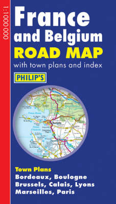
"Philip's France and Belgium Road Map" is designed for long-distance driving, and is a convenient size for opening out on a table or in a vehicle. France and Belgium are shown at 10 km to 1 cm (16 miles to 1 inch), an ideal scale for long-distance driving, with major routes and destinations picked out in bold colours. Toll and pre-pay motorways are clearly shown, along with restricted and unrestricted motorway junctions. Among other updates, this new edition shows the completed motorways from Le Mans to Rouen and Le Mans to Tours, and the revised junction numbering from Boulogne along the north coast of France to Adinkerke on the Belgian border. City-centre plans are provided for Bordeaux, Boulogne, Brussels, Calais, Lyons, Marseilles and Paris. For holiday planning, the map highlights scenic routes and shows car ferry routes, along with ancient monuments, beaches, castles, cathedrals, national parks, ski resorts, theme parks, world heritage sites, and many other places of interest.
- ISBN10 054009059X
- ISBN13 9780540090594
- Publish Date 26 February 2007
- Publish Status Out of Print
- Out of Print 10 November 2011
- Publish Country GB
- Publisher Octopus Publishing Group
- Imprint Philip's
- Format Hardcover
- Pages 2
- Language English