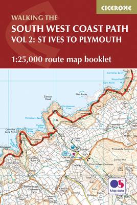
This booklet of Ordnance Survey 1:25,000 Explorer maps covers part of the southern section of the route between St Ives and Plymouth, providing all the mapping you need to walk the trail in either direction. It is conveniently sized for slipping into a jacket pocket or top of a rucksack and comes in a clear PVC sleeve.
Two separate booklets cover the rest of the route, from Minehead to St Ives and from Plymouth to Poole. The map booklet accompanies the Cicerone guidebook The South West Coast Path, which describes the full National Trail in 45 stages, with lots of other practical information and local points of interest.
The South West Coast Path is Britain's longest National Trail, stretching some 630 miles (1014km) between Minehead in Somerset and Poole in Dorset.
- ISBN13 9781852849375
- Publish Date 10 November 2021 (first published 28 February 2017)
- Publish Status Active
- Publish Country GB
- Imprint Cicerone Press
- Format Paperback
- Pages 88
- Language English
- URL http://cicerone.co.uk/9781852849375.cfm