Oxford University School of Archaeology: Monograph
1 total work
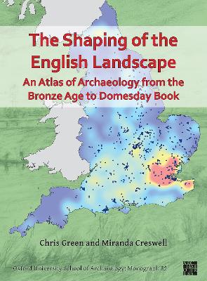
The Shaping of the English Landscape: An Atlas of Archaeology from the Bronze Age to Domesday Book
by Chris Green and Miranda Creswell
Published 16 September 2021
The Shaping of the English Landscape is an atlas of English archaeology covering the period from the middle Bronze Age (c. 1500 BC) to Domesday Book (AD 1086), encompassing the Bronze and Iron Ages, the Roman period, and the early medieval (Anglo-Saxon) age. It was produced as part of the English Landscape and Identities (EngLaId) project at the University of Oxford, which took place from 2011 to 2016, funded by the European Research Council.
In this book, you will find maps (produced by Chris Green) and discussion of themes including landscape agency, settlement, foodways and field systems, belief and the treatment of the dead, mobility and defence, making things, and material culture. Alongside are artworks (produced by Miranda Creswell) dealing with similar themes and depicting archaeological sites from across England. The authors hope to inspire and encourage debate into the past history of the English landscape.
Includes contributions from Anwen Cooper, Victoria Donnelly, Tyler Franconi, Roger Glyde, Chris Gosden, Zena Kamash, Janice Kinory, Sarah Mallet, Dan Stansbie, John Talbot, and Letty Ten Harkel.