Frontiers of the Roman Empire
9 total works
The Roman military remains of Egypt are remarkable in their variety and in their state of preservation. They deserve to be better known. They include forts, quarries under the authority of the army and whose materials were used in the monumental buildings of Rome, as well as the roads which crossed the desert landscape and brought the Mediterranean into con¬tact with the Indian Ocean. It is hoped that each reader of this book will enjoy learning more about the remarkable Roman inheritance of Egypt.
The full text is presented side-by-side dual-language in English and French.
Although the Antonine Wall fits into the general pattern of Roman frontiers, in many ways it was the most developed frontier in Europe, with certain distinct characteristics. Perhaps of greatest significance is the survival of the collection of Roman military sculpture, the Distance Slabs. These record the lengths constructed by each legion and their relationship to the labour camps allow further conclusions to be made about the work of constructing the Antonine Wall.
The Lower German Limes
by David J. Breeze, Sonja Jilek, Erik P. Graafstal, Willem J.H. Willems, and Steve Boedecker
The frontier in Lower Germany was one of the earliest to be created; surviving into the early 5th century, it illustrates the whole range of Roman military installations. In the Rhine delta, the watery nature of the landscape has ensured incredible survivals in the form of organic remains including ships. Upstream are great military bases created for the army poised to invade Germany, supported by forts and fortlets, all modified over time.
The African Frontiers
by David J. Breeze, Sonja Jilek, David Mattingly, Alan Rushworth, Martin Sterry, and Victoria Leitch
The Roman military remains in North Africa are remarkable in their variety and in their state of preservation: they deserve to be better known. They include towers and forts, stretches of defensive lines of stone and earth with ditches broken by gates, and roads, sitting in the most amazing scenery. It is hoped that each reader of this book will enjoy learning more about North Africa’s remarkable Roman inheritance.

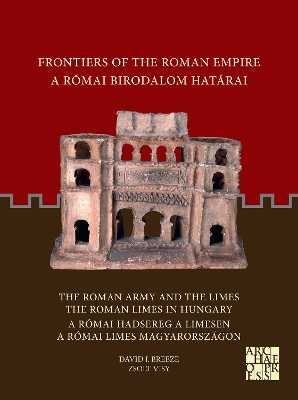
The Roman Army and the Limes / The Roman Limes in Hungary
by David J. Breeze and Zsolt Visy
The Roman Empire reached its near full extent during the reign of Emperor Augustus. At that time Europe, Africa, the Middle East and the entire Mediterranean were part of it. The Hungarian part of the Empire had a river frontier that was more precisely called ripa. Pannonia province existed from the occupation during the reign of Emperor Augustus to the 20s and 30s of the 5th century A.D. Its border stretched alongside the Danube and was always one of the most important European frontiers in Roman times, as it is justified by keeping a very strong defence force there, consisting of 4 legions and an average of 30 auxiliary units. Some 420 km long section of the entire Pannonian limes from Klosterneuburg (Austria) to Belgrade (Serbia) belongs to the territory of present-day Hungary.
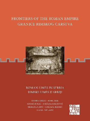
Roman Limes in Serbia
by David J. Breeze, Sonja Jilek, Miomir Korac, Snezana Golubovic, Nemanja Mrdic, Gordana Jeremic, and Stefan Pop-Lazic
The aim of this publication is not only to inform about historical and archaeological facts on the Limes in Serbia but also to act as a guidebook as well through the Danubian Limes.
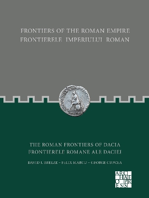
The Roman Frontiers of Dacia
by David J. Breeze, Felix Marcu, and George Cupcea
The province of Dacia had a relatively short life being abandoned due to economic and strategic reasons in the 260s. It was heavily militarized and therefore the role of the army was crucial in Its development and life. The Roman frontier In Dacia combined several elements, each relating to the landscape: there were riverain and mountain borders, some supplemented by linear barriers, and all connected by roads. Everywhere, the complex system of the border consisted primarily of a network of watchtowers, smaller or larger forts and artificial earthen ramparts or stone walls.
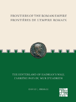
The frontiers of the Roman Empire together form the largest monument of one of the world’s greatest ancient states. They stretch for some 7,500 km through 20 countries which encircle the Mediterranean Sea. The remains of these frontiers have been studied by visitors and later by archaeologists for several centuries. Many of the inscriptions and sculptures, weapons, pottery and artefacts created and used by the soldiers and civilians who lived on the frontier can be seen in museums. Equally evocative of the lost might of Rome are the physical remains of the frontiers themselves. The aim of this series of books is not only to inform the interested visitor about the history of the frontiers but to act as a guidebook as well. In this important and beautifully illustrated book, David Breeze elucidates the context of the most famous frontier, Hadrian’s Wall. The zone to north and south of the Wall was a heavily militarised landscape of roads, bridges, forts, fortlets and towers, but also the towns, settlements and supply infrastructure on which the army depended. As the invaluable gazetteer shows, the area is now rich in superb sites and museums, allowing modern people countless rich insights into the world of the soldiers and civilians of the period.