Philip's World Atlas
2 total works
"This is such a great book for primary school age children and a little beyond for finding out about the world, its countries and people" Amazon customer review
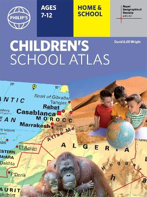
- Philip's atlas, designed specially to use at home and at school with guidance for parents and teachers
- Clear maps and fascinating facts bring geography to life for readers aged 7-12
- Published by Philip's the UK's leading school atlas publisher, in association with the Royal Geographical Society
- Quizzes, activity ideas and puzzles to make learning fun
- Past winner of the Geographical Association's award for making a significant contribution to geography
The atlas is organized spread by spread in the classic sequence: first Europe, then its land neighbour Asia, followed by Africa, Australia and Oceania, North America and South America.
Illustrated with captivating full-colour photographs and packed with fact boxes, curiosities, flags, stamps and quiz questions, Philip's RGS Children's Atlas is both fun to use and easy to understand.
Now in its 16th edition, Philip's RGS Children's Atlas is a past winner of the Geographical Association's award for making a significant contribution to geography. The atlas was judged "an excellent 'all round' children's atlas with simple yet well-designed maps, well-illustrated with colour photographs. It links places to issues, events and real people, giving a clear sense of place."
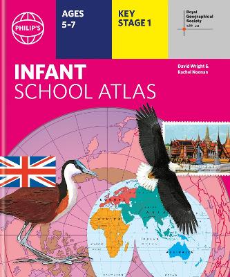
Written for 5 to 7 year-old this atlas is ideal for teaching Key Stage 1, helping to cover geography, history, science, citizenship and literacy requirements
- Written by experts Professor David Wright and Rachel Noonan
- Published in association with the Royal Geographical Society
- 50 pages of clear, child-friendly maps showing our world today
- Countries of the world brought to life with flags, illustrations and photos
- Bold text, simple words and short sentences to encourage reading skills
- Starts with the Earth as a Planet then zooms into each of the world's regions with maps and illustrations
- Numbered balloons on each map link to photos of a real place
Fully revised and updated, the atlas is for children aged 5-7 in the early stages of reading, with simple text to explain what is happening on the maps and illustrations - all compatible with National Curriculum Key Stage 1.
Clear, child-friendly maps are combined with vibrant photographs and facts about the world to provide essential geographical information for young children. Guidance is given at the beginning of the atlas on how to use the maps, encouraging the early development of map skills and knowledge of the world.
Each colourful spread is illustrated with photographs and packed with fact boxes, curiosities, flags, stamps and simple quiz questions. Philip's RGS Infant School Atlas is both fun to use and easy to understand. The text is simple and uncomplicated to encourage early reading skills.