British Walking Guides
2 total works
Featuring 53 detailed walking maps, this title includes itineraries and information for walkers on all budgets.
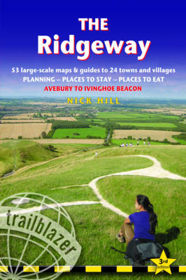
Practical guide to walking the whole of the Ridgeway National Trail. The Ridgeway path begins near Avebury and runs 87 miles across the high chalk downs of Wiltshire, into the Thames Valley and on to the Chiltern Hills of Buckinghamshire, finishing at Ivinghoe Beacon near Aylesbury. Includes: Ridgeway map, 53 large-scale maps (1:20,000), guides to 24 towns and villages. Detailed accommodation: campsites, B&Bs, hotels, hostels and bunkhouses. Places to eat: cafes, teashops, pubs and restaurants. Detailed public transport information. Itineraries for all walkers including day Ridgeway walks. Downloadable GPS waypoints. Colour pictures including 4 paqe flower and butterfly guide.