AA Street by Street
1 total work
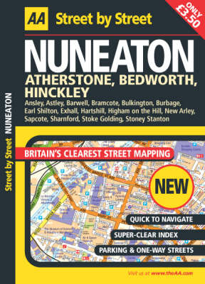
AA Street by Street Nuneaton
Published 2 January 2004
This series of practical street atlases aims to provide clear, legible mapping with the latest digital data for Britain from the Ordnance Survey. This atlas covers the Nuneaton area. Each atlas in the range features: National Grid referencing as well as the indexed "battleship" grid; AA Service Centres, recommended restaurants and camping sites; more area at a larger scale; easy-to-read street names; clear symbols; and a clearly designed index with coloured letter headers for quick reference.