Scottish Burgh Survey
3 total works
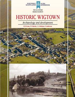
Situated in what now seems a remote corner of south-west Scotland, Wigtown was once an important county town. With its harbour and location at the lowest fording point of the River Cree, Wigtown was at one time part of a major network of land and sea routes, including a pilgrim route to Whithorn. The layout of the town is notable for its large market square, a reflection of its importance in the cattle trade in the medieval period.
The town achieved burgh status in the thirteenth century, by which time it was an important trading centre, and the present arrangement of streets and burgage plots dates to this time. Today the principal access route is from the north, rather than through the East and West Ports which controlled access to the great market place. The burgh arms depict a three-masted sailing ship, demonstrating the importance placed on its maritime trade.
This book examines both the town’s political history, as it passed between the earldoms of Wigtown and Douglas, and its economic history, as it competed with Whithorn, before its eventual decline in the later nineteenth century. The authors use the surviving buildings to examine the development of the town from the medieval to the modern period.
This book is part of the Scottish Burgh Survey – a series funded by Historic Scotland designed to identify the archaeological potential of Scotland’s historic towns.
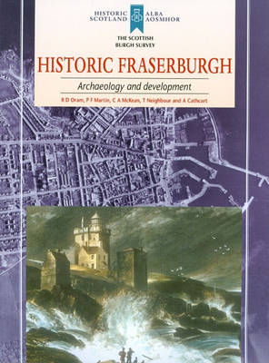
Historic Fraserburgh
by Richard Oram, P.F. Martin, C. McKean, and T. Neighbour
Published 31 December 2010
This book examines Fraserburgh's historic development from the late medieval period, when it was laid out to a continental-style grid, to its heyday as a fishing port in the early twentieth century. The town has received very little archaeological investigation so the authors consider where the areas of archaeological potential lie, in order to inform future management.


