AA Glovebox Atlas S.
1 total work
France, Belgium and the Netherlands
Published 1 April 2002
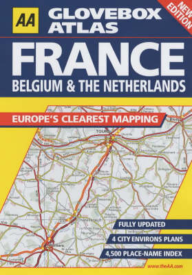
The third edition covers France, Belgium, Luxembourg and the Netherlands/Holland and includes plans of the major cities. In a handy A5 format, with a scale of 16 miles to the inch, it also contains a comprehensive index containing 4500 place names. The atlas includes a route-planning map, a distance chart with the distance shown in kilometres and incorporates toll points and their closure periods, viewpoints and mountain passes.