Springer Tracts in Advanced Robotics
2 primary works
Book 82
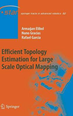
Efficient Topology Estimation for Large Scale Optical Mapping
by Armagan Elibol, Nuno Gracias, and Rafael Garcia
Large scale optical mapping methods are in great demand among scientists who study different aspects of the seabed, and have been fostered by impressive advances in the capabilities of underwater robots in gathering optical data from the seafloor. Cost and weight constraints mean that low-cost ROVs usually have a very limited number of sensors. When a low-cost robot carries out a seafloor survey using a down-looking camera, it usually follows a predefined trajectory that provides several non time-consecutive overlapping image pairs. Finding these pairs (a process known as topology estimation) is indispensable to obtaining globally consistent mosaics and accurate trajectory estimates, which are necessary for a global view of the surveyed area, especially when optical sensors are the only data source. This book contributes to the state-of-art in large area image mosaicing methods for underwater surveys using low-cost vehicles equipped with a very limited sensor suite. The main focus has been on global alignment and fast topology estimation, which are the most challenging steps in creating large area image mosaics. This book is intended to emphasise the importance of the topology estimation problem and to present different solutions using interdisciplinary approaches opening a way to further develop new strategies and methodologies.
Book 87
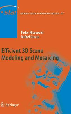
Efficient 3D Scene Modeling and Mosaicing
by Tudor Nicosevici and Rafael Garcia
This book proposes a complete pipeline for monocular (single camera) based 3D mapping of terrestrial and underwater environments. The aim is to provide a solution to large-scale scene modeling that is both accurate and efficient. To this end, we have developed a novel Structure from Motion algorithm that increases mapping accuracy by registering camera views directly with the maps. The camera registration uses a dual approach that adapts to the type of environment being mapped.
In order to further increase the accuracy of the resulting maps, a new method is presented, allowing detection of images corresponding to the same scene region (crossovers). Crossovers then used in conjunction with global alignment methods in order to highly reduce estimation errors, especially when mapping large areas. Our method is based on Visual Bag of Words paradigm (BoW), offering a more efficient and simpler solution by eliminating the training stage, generally required by state of the art BoW algorithms.
Also, towards developing methods for efficient mapping of large areas (especially with costs related to map storage, transmission and rendering in mind), an online 3D model simplification algorithm is proposed. This new algorithm presents the advantage of selecting only those vertices that are geometrically representative for the scene.

