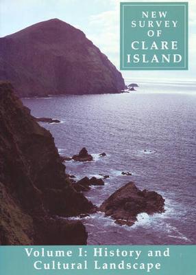
New Survey of Clare Island
1 primary work
Book 1
v. 1: History and Cultural Landscape
by Timothy Collins, Criostoir Mac Carthaigh, Kevin Whelan, and O Muraile,Nollaig
Published 14 December 1999
In 1909-11 Robert Lloyd Praeger brought a team of 100 scientific specialists from all over Europe to map the flora, fauna, geology and archaeology of Clare Island, a small, exposed Atlantic island off the west coast. The gathering led to the publication of the path-breaking 'Clare Island Survey'. A century later the survey was repeated as the 'New Survey of Clare Island' (1992-2009) and both works were published extensively by the Royal Irish Academy. The first in the new series of surveys, this illustrated volume introduces the reader to the history and folk life of this island in Clew Bay, County Mayo, and to the survey that provided the inspiration for the Royal Irish Academy's multidisciplinary endeavour. The Clare Island Survey of 1901-11 was the most ambitious natural history project ever undertaken in Ireland and the first major biological survey of a specific area carried out in the world. Here, after a century of change, Timothy Collins gives an account of the origins of the first Clare Island Survey and of the subsequent careers of the participants. Criostoir Mac Carthaigh records aspects of the island's folk life, farming and fishing practices, vernacular housing, boat and house construction. Kevin Whelan considers the evolution of landscape and society in the pre-famine west of Ireland and focuses on the reshaping of Clare Island's settlement patterns by the Congested Districts Board from 1895. Lastly, Nollaig O Muraile documents the rich body of the island's place names.
