Irish Historic Towns Atlas
2 primary works
Bound Volume III
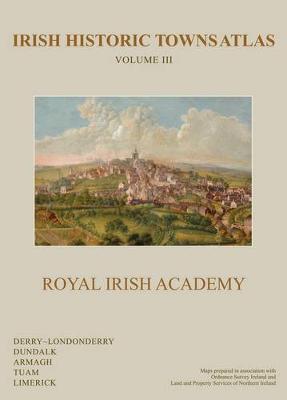
Irish Historic Towns Atlas Volume III
by Avril Thomas, Catherine McCullough, Harold O'Sullivan, and W. H. Crawford
Published 2 January 2012
This third combined and bound volume in the ‘Irish Historic Towns Atlas’ series follows volumes I (1995) and II (2005). A 300-page special publication, it brings together five towns and cities previously published as individual projects: Derry-Londonderry, Dundalk, Armagh, Tuam and Limerick. Maps are presented in large format and include facsimiles of old plans, historical reconstructions and thematic maps. Topographical views, illustrations, and photographs provide additional artistic perspectives. Each town/city in Volume III includes a text section with an explanatory essay and a detailed gazetteer that gives dates, references, and other data on the streets, buildings, and sites of the urban center. The book offers the opportunity to compare details of these Irish towns and cities: Limerick had its origins as a Viking trading place on a river crossing before its complex evolution as a medieval royal center, and it eventually became one of Ireland's major industrial and maritime cities. Dundalk is an example of Anglo-Norman colonial initiative that found itself on the edge of the Pale (Dublin) by the end of the Middle Ages before coming under the influence of improving landlords in the 18th century. Armagh, Derry-Londonderry, and Tuam all have origins as early Christian monastic sites. Tuam evolved into a small town under Gaelic patronage in the late 12th century, while Derry-Londonderry became a plantation town in the early 17th century, and Armagh experienced significant growth in the 18th century thanks to its enterprising archbishops.
Authors:
No. 15 Derry~Londonderry (2005) Avril Thomas
No. 16 Dundalk (2006) Harold O'Sullivan
No. 18 Armagh (2007) Catherine McCullough
No. 20 Tuam (2009) J.A. Claffey
No. 21 Limerick (2010) Eamon O'Flaherty
Series editors: Anngret Simms, H.B. Clarke, Raymond Gillespie, Jacinta Punry; Consultant editor: J.H. Andrews; Cartographic editor: Sarah Gearty; Editorial assistants: Angela Murphy, Angela Byrne, Jennifer Moore
Book 23
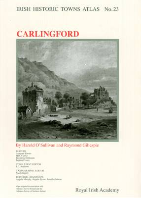
Number 23 in the Irish Historic Towns Atlas series, Carlingford traces the topographical development of this Anglo-Norman town from its earliest times to c. 1900. Carlingford details the growth of this port and fishing town at the gateway to south Ulster and north Leinster on Carlingford Lough. From its Anglo-Norman foundation, the picturesque town attracted many artists and travellers. Here over 20 historical and old views are presented in colour on A3 sheets with additional thematic maps, illustrations and contemporary vignettes in the accompanying text. The extensive topographical gazetteer documents over 450 sites in Carlingford and is accompanied by an essay explaining the urban morphological development of the town. Also included is a CD-ROM of the publication where the text is word searchable and the maps and images are in high resolution, allowing for detailed examination.