Scottish Glens S.
4 primary works
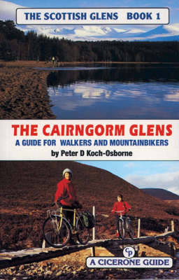
Book 1
The aim in this series of books is to provide the mountainbiker and walker with information on a variety of possible routes so they know something of what to expect. One of the problems is that O.S. maps give no indication as to whether an 'other road' is metalled, a path or a forest fire break, or anything in between. Many bridges shown on O.S. maps do not exist. Rivers are difficult to judge in size from the map, and a building may be anything from a pile of stones to a maintained bothy. All is revealed without removing the sense of adventure and exploration. Gradient profiles help to assess how strenuous a route is, and each hand-drawn page contains a wealth of information. The object is to save wasted leisure time and enable the armchair explorer to plan ahead or relive experiences. "The Cairngorm Glens" includes: Braemar, Feshiebridge and Rothiemurchus, Abernethy and Tomintoul.
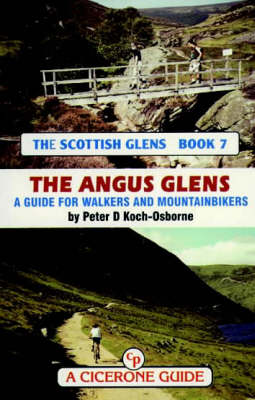
Book 7
The aim in this series of books is to provide the mountainbiker and walker with information on an intended route so they know something of what to expect. One of the problems is that O.S. maps give no indication as to whether an 'other road' is metalled, a path or a forest fire break, or anything in between. Many bridges shown on O.S. maps do not exist. Rivers are difficult to judge in size from the map, and a building may be anything from a pile of stones to a maintained bothy. All is revealed without removing the sense of adventure and exploration. Gradient profiles help to assess how strenuous a route is, and each hand-drawn page contains a wealth of information. The object is to save wasted leisure time and enable the armchair explorer to plan ahead or relive experiences. "The Angus Glens" include: the glens of western Angus: Isla, Clova, Doll, including the Backwater Reservoir; the eastern glens: Lee, Esk, and the Drumtochty, Fetteresso and Durris forests; and the Deeside glens: Callater, Gelder, Girnock, Muick, Tanar etc.
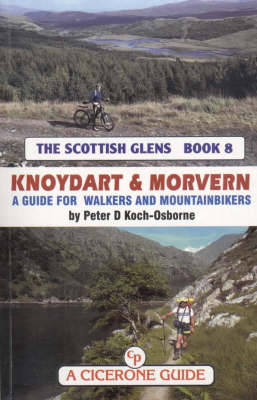
Book 8
The aim in this series of books is to provide the mountainbiker and walker with information on an intended route so they know something of what to expect. One of the problems is that O.S. maps give no indication as to whether an 'other road' is metalled a path or a forest fire break, or anything in between. Many bridges shown on O.S. maps do not exist. Rivers are difficult to judge in size from the map, and a building may be anything from a pile of stones to a maintained bothy. All is revealed without removing the sense of adventure and exploration. Gradient profiles help to assess how strenuous a route is, and each handdrawn page contains a wealth of information. The object is to save wasted leisure time and enable the armchair explorer to plan ahead or relive experiences. "Knoydart to Morvern" includes Quoich to Knoydart, Morar and Lochaber, Ardnamurchan to Ardgour, Morvern and Link Routes.
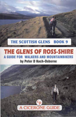
Book 9
The aim in this series of books is to provide the mountainbiker and walker with information on an intended route so they know something of what to expect. One of the problems is that O.S. maps give no indication as to whether an 'other road' is metalled, a path or a forest fire break, or anything in between. Many bridges shown on O.S. maps do not exist. Rivers are difficult to judge in size from the map, and a building may be anything from a pile of stones to a maintained bothy. All is revealed without removing the sense of adventure and exploration. Gradient profiles help to assess how strenuous a route is, and each-hand drawn page contains a wealth of information. The object is to save wasted leisure time and enable the armchair explorer to plan ahead or relive experiences. "The Glens of Ross-shire" includes: Inverness to Shiel Bridge, Easter Ross, Wester Ross. Peter Koch Osborne is an experienced mountain walker who discovered a whole new world with the mountain bike. Now he continues both activities and devotes much of his spare time to exploring the Highlands of Scotland.


