A Wormsloe Foundation Nature Book
2 total works
The Chattahoochee River is one of the premier waterways of Georgia and the Southeast. It is a mecca for summer recreation, a priceless natural resource that provides water and power for a great number of Georgia's citizens, and an essential component to the region's ecosystem. As public interest in both exploring and protecting Georgia's rivers such as the Chattahoochee grows, so too has the demand for clear and elegant guides to our rivers. The Chattahoochee River User's Guide - the latest in a series of river guides from Georgia River Network and the University of Georgia Press - aims to meet that demand.
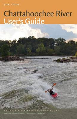
The Chattahoochee River User's Guide traces the 430-mile course of the Hooch from its headwaters at a spring on Coon Den Ridge near Jacks Knob in northeastern Georgia to its confluence with the Flint River, where they form the Apalachicola River. The Georgia River network guides provide many little-known facts about Georgia's rivers, bring to life these rivers' cultural and natural history, and present river issues in an immersive and engaging manner that will inspire users to help protect their local waterways.Features:200 colour photographs 32 user-friendly maps that reveal the towns, roads, entry points, bridges, public lands, parks, and other landmarks along the river's course from the southern Blue Ridge Mountains to the Georgia-Florida borderDetailed practical information about public access points, potential hazards, camping facilities, and GPS coordinates for points of interest A primer on fishingAn introduction and safety overview, as well as a concise natural history guide to common flora and fauna of the river corridor
The Chattahoochee River User's Guide traces the 430-mile course of the Hooch from its headwaters at a spring on Coon Den Ridge near Jacks Knob in northeastern Georgia to its confluence with the Flint River, where they form the Apalachicola River. The Georgia River network guides provide many little-known facts about Georgia's rivers, bring to life these rivers' cultural and natural history, and present river issues in an immersive and engaging manner that will inspire users to help protect their local waterways.Features:200 colour photographs 32 user-friendly maps that reveal the towns, roads, entry points, bridges, public lands, parks, and other landmarks along the river's course from the southern Blue Ridge Mountains to the Georgia-Florida borderDetailed practical information about public access points, potential hazards, camping facilities, and GPS coordinates for points of interest A primer on fishingAn introduction and safety overview, as well as a concise natural history guide to common flora and fauna of the river corridor
Unlike many other Georgia rivers that begin their journeys to the sea along the flanks of ridges in the relatively pristine confines of national forest lands, the Ocmulgee—a name that means "where water boils up" in Muskogee—rises inside Atlanta’s I-285 perimeter highway as the South River in a jungle of asphalt and concrete. In fact, its very headwaters are buried beneath a hazardous waste site. Its other main tributaries—the Yellow and Alcovy—rise in Atlanta’s fast-growing northeast suburbs of Gwinnett County, and they too have not escaped the impacts of city life. Yet the Ocmulgee also hosts one hundred species of fish, eighty-five of which are native to the river, as well as eighteen native freshwater mussel species, including seven species found nowhere else on the planet.
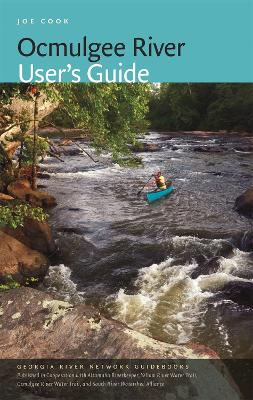
In the Ocmulgee River User’s Guide, both novice and experienced water sports enthusiasts will fi nd all the information required to enjoy the full length of the river through Macon to its confluence with the Altamaha near Lumber City. Author Joe Cook includes detailed maps, put in and take out suggestions, fishing and camping locations, mile-by-mile points of interest, and an illustrated guide to the animals and plants commonly seen in and around the river. Day-trippers will enjoy the guide’s fascinating description of the cultural and natural heritage of this richly diverse waterway.
FEATURES:
- An introduction and overview of the river
- Chapters describing each river section with detailed maps and notes on river access and points of interest
- A compact natural history guide featuring species of interest
- Notes on safety and boating etiquette
- A fishing primer
- Notes on organizations working to protect the river