Through Time
4 total works
When the new town established in East Shropshire acquired the name 'Telford' in 1968, sign boards set up on major roads entering the designated area announced, 'Telford - Birthplace of Industry'. This reflected an earlier label applied to one of the historic areas within the New Town's boundary -...Read more
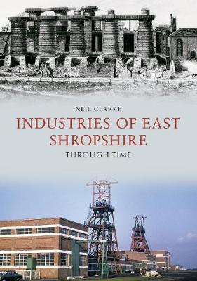
When the new town established in East Shropshire acquired the name 'Telford' in 1968, sign boards set up on major roads entering the designated area announced, 'Telford - Birthplace of Industry'. This reflected an earlier label applied to one of the historic areas within the New Town's boundary - Coalbrookdale: Cradle of the Industrial Revolution'. No doubt other areas in the country could claim a part in the origins of this seminal movement, but East Shropshire certainly had a major role in the development of the coal, iron and clay industries in the eighteenth and early nineteenth centuries. Today, the Ironbridge Gorge Museum, with its ten different sites, encapsulates this story.
The extractive and heavy manufacturing industries of the East Shropshire (Coalbrookdale) Coalfield declined in the late nineteenth and early twentieth centuries, only to be briefly revived during the two World Wars, but the advent of the New Town in the late 1960s saw the setting up of industrial estates, which attracted a multitude of new light engineering, technical, food and service industries.
This book surveys the range of industrial activity in East Shropshire from previous centuries to the present, and complements Neil Clarke's previous books on the transport history of the coalfield and it surrounding market towns.
The history of East Shropshire has had a global impact, with Ironbridge and Coalbrookdale acknowledged as the 'Cradle of the Industrial Revolution'. In this book, local industrial history expert Neil Clarke examines through photographs and old drawings the history of the waterways in this area, which both came from...Read more
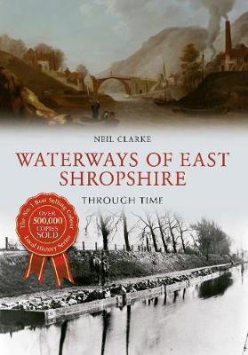
The history of East Shropshire has had a global impact, with Ironbridge and Coalbrookdale acknowledged as the 'Cradle of the Industrial Revolution'. In this book, local industrial history expert Neil Clarke examines through photographs and old drawings the history of the waterways in this area, which both came from the Industrial Revolution and enabled its growth, looking at the early uses of the waterways and their current impact on the area.
As well as the River Severn, the longest river in the United Kingdom, the waterways of East Shropshire include the canals that were some of the first highways for the expanding Industrial Revolution. This area of Shropshire has changed beyond all recognition, as the harsh lines of industry have been replaced with greenery, yet the remnants of its industrial past can still be seen along its waterways.
As well as the River Severn, the longest river in the United Kingdom, the waterways of East Shropshire include the canals that were some of the first highways for the expanding Industrial Revolution. This area of Shropshire has changed beyond all recognition, as the harsh lines of industry have been replaced with greenery, yet the remnants of its industrial past can still be seen along its waterways.
The history of East Shropshire has had a global impact, with Ironbridge and Coalbrookdale acknowledged as the 'Cradle of the Industrial Revolution'. In this book, local industrial history expert Neil Clarke examines through photographs the history of the railways in this area, which both came from the Industrial Revolution...Read more
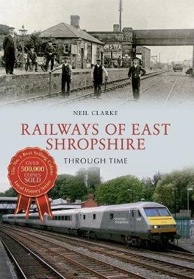
The history of East Shropshire has had a global impact, with Ironbridge and Coalbrookdale acknowledged as the 'Cradle of the Industrial Revolution'. In this book, local industrial history expert Neil Clarke examines through photographs the history of the railways in this area, which both came from the Industrial Revolution and enabled its growth, through the rapid expansion of the nineteenth century and the Grouping and the Beeching Axe of the twentieth century to the present day.
Everything, from the first wagonways (early railways) to individual branch lines of the area, is examined using both old photographs and drawings and modern photographs to show the development of railways in the area. This area of Shropshire has changed beyond all recognition, as the harsh lines of industry have been replaced with greenery, yet the remnants of its industrial past can still be seen, especially through its railways.
Everything, from the first wagonways (early railways) to individual branch lines of the area, is examined using both old photographs and drawings and modern photographs to show the development of railways in the area. This area of Shropshire has changed beyond all recognition, as the harsh lines of industry have been replaced with greenery, yet the remnants of its industrial past can still be seen, especially through its railways.
When Daniel Defoe, the author of A Tour through the Whole Island of Great Britain, visited Shropshire in the early 1720s, on his journey from Shrewsbury to Lichfield he travelled along what he called ‘The Great Ancient Road’. Both before and since Defoe’s time, this road has played a...Read more
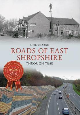
When Daniel Defoe, the author of A Tour through the Whole Island of Great Britain, visited Shropshire in the early 1720s, on his journey from Shrewsbury to Lichfield he travelled along what he called ‘The Great Ancient Road’. Both before and since Defoe’s time, this road has played a vital role in the history of East Shropshire. It was the Watling Street of the Romans, the county’s first turnpike road, part of Thomas Telford’s Holyhead Road, and the A5 of the motor age. Along it, at these different times, Roman troops marched, medieval pilgrims and royalist armies trudged, horse-drawn stage and mail coaches sped, and motor vehicles ran.
Radiating from it were roads to the area’s market towns – Newport, Shifnal, Bridgnorth and Much Wenlock – with Wellington at the hub. These roads were turnpiked in the late eighteenth and early nineteenth centuries as a result of the increased traffic engendered by the development of the coal, iron and clay industries on the Coalbrookdale coalfield during the Industrial Revolution.
The growth of motor traffic in the first half of the twentieth century led to improvements for all the area’s roads, but the biggest changes came in the second half of the century with the development of Telford New Town and the opening of the M54 motorway. Today’s road map of the area is very different from that of fifty years ago.
This book surveys pictorially these developments in roads and their traffic in East Shropshire from earliest times to the present day.


