2000
2 primary works • 4 total works
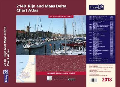
Book 2140
Book 2160
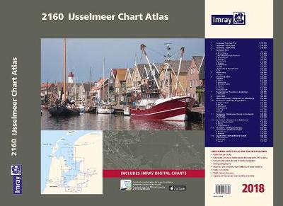
Includes extensive coverage of the IJsselmeer, Markermeer and Randmeren, as well as the Nordzeekanaal from IJmuiden to Amsterdam.
Charts in the atlas include
1. IJsselmeer Overview Chart (1:350 000)
2. IJsselmeer - North sheet (1:85 000)
3. IJsselmeer - South sheet (1:85 000)
4. IJsselmeer Plans - Den Oever (1:25 000), Breezanddijk (1:20 000), C Kornwerderzand & Makkum (1:25 000), Hindeloopen (1:25 000), Stavoren (1:25 000), Oude Zeug (1:15 000),
Lemmer (1:25 000), Medemblik (1:15 000), Andijk (1:20 000), Enkhuizen & Broekerhaven (1:20 000) and Urk (1:20 000)
5. Markermeer (1:85 000) includes plan Hoorn (1:15 000)
6. Gouwzee & Edam (1:35 000) and Lelystad (1:35 000) includes plans Edam (1:12 500), Volendam (1:15 000), Monnickendam (1:15 000), Marken (1:10 000), Uitdam (1:10 000),
Houtribhoek (1:20 000)
7. Nordzeekanaal - IJmuiden to Amsterdam (1:50 000) includes plan IJmuiden (1:20 000)
8. Amsterdam (1:22 500)
9. Markermeer South - Oranjesluis to Hollandsbrug (1:25 000)
10. Randmeren - Hollandse Brug to Nulde (1:40 000) includes plans Almere Haven (1:15 000), Huizen (1:15 000), Eemmond (1:15 000), Spakenberg (1:15 000), Nijkerk (1:15 000) and Nulde (1:15 000)
11. Randmeren - Nuldenauw Channel to Harderwijk (1:40 000) includes plans Harderwijk (1:20 000) and Zeewolde (1:20 000)
12. Randmeren - Veluwemeer to Ketelhaven (1:40 000) includes plans Bremerbergse Hoek (1:15 000), Elburg (1:20 000), Roggebotsluis (1:15 000)
13. Ketelmeer - Ketelbrug to Kampen (1:30 000) includes plans Continuation of IJssel to Kampen (1:40 000), Ketelhaven (1:15 000) and Kampen (1:15 000)
14. Zwarte Meer - Ramspolbrug to Hasselt (1:32 500) includes plans Genemuiden (1:15 000), Zwartsluis (1:15 000) and Hasselt (1:15 000)
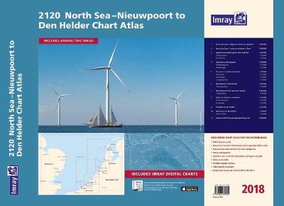
Coverage is the North Sea coast, from the Belgian-French border, through the Zeeland, South Holland and North Holland coasts up to and including Den Helder.
Included in the atlas are all of the navigational charts and tidal data required for coastal passage and approach. Also included is a larger-format passage planning sheet for plotting routes across the North Sea.
Charts in the atlas include
1. North Sea Coast - Nieuwpoort to Hoek Van Holland (1:300 000)
2. North Sea Coast - Hoek van Holland to Texel (1:300 000)
3. Approaches to Nieuwpoort and Oostende (1:100 000) includes plans Niewpoort (1:30 000) and Oostende (1:20 000)
4. Oostende to Westkapelle (1:100 000) includes plans Blankenberge (1:15 000) and Zeebrugge (1:35 000)
5. Entrance to the Westerschelde (1:50 000) includes plans Breskens (1:15 000), Vlissingen (1:20 000) and Cadzand-Bad (1:10 000)
6. Westkapelle to Westhoofd (1:100 000) includes plan Roompotsluis (1:30 000)
7. West Schouwen to Hoek van Holland (1:100 000) includes plan Stellendam (1:30 000)
8. Hoek van Holland to IJmuiden (1:125 000) includes plans Scheveningen (1:15 000) and IJmuiden (1:35 000)
9. IJmuiden to Den Helder (1:125 000)
10. Approaches to Den Helder (1:50 000) includes plan Den Helder (1:20 000)
11. Southern North Sea passage planning chart (1:500 000)
Commended for the John C Bartholemew Award for Thematic Mapping at the 2016 British Cartographic Society Awards.
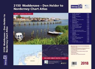
Covering the area from Den Helder to Nordeney, the atlas has updated colours for easy navigation of shallow areas within the Waddenzee, as well as the North Sea coast and coastal islands.
Included in the atlas are all of the navigational charts and tidal data required for passage and approach.
Charts in the atlas include
1. Den Helder to Eierlandsche Gat (1:100 000)
2. Approaches to Den Helder (1:50 000) includes plan Den Helder (1:20 000)
3. Den Helder to Kornwerderzand (1:75 000) includes plans Oudeschild (1:15 000), Den Oever (1:25 000) and Kornwerderzand (1:25 000)
4. Eierlandsche Gat to Zeegat van Terschelling (1:100 000)
5. Eierlandsche Gat (1:50 000)
6. Zeegat van Terschelling (1:35 000) includes plans Vlieland Haven (1:15 000) and West-Terschelling (1:20 000)
7. Zeegat van Terschelling to Harlingen (1:75 000)
8. Approaches to Harlingen (1:25 000)
9. Approaches to Zeegat van Ameland ( 1:100 000)
10. Zeegat van Ameland to Harlingen (1:75 000)
11. Ameland (1:50 000) includes plan Nes (1:20 000)
12. Friesche Zeegat to the Entrance to the Eems (1:100 000)
13. Friesche Zeegat to Schiermonnikoog and Lauwersoog (1:40 000)
14. Lauwersmeer (1:30 000) includes plans Lauwersoog (1:12 500), Oostmahorn (1:12 500), Dokkumer Nieuwe Zijlen (1:12 500), Zoutkamp (1:12 500)
15. Lauwers Channel (1:50 000)
16. Borkum, Osterems and Oude Westereems (1:75 000)
17. Approaches to Delfzijl and Emden (1:50 000) includes plans Delfzijl (1:20 000) and Termunterzijl (1:10 000)
18. Borkum to Norderney (1:100 000)
19. Den Helder to Norderney overview chart (1:400 000)