The Coast to Coast Walk

by Terry Marsh

Published July 1998

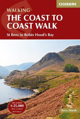
Guidebook and Ordnance Survey map booklet to the Coast to Coast Walk. The route stretches some 188 miles (302km) from St Bees on Cumbria's west coast to Robin Hood's Bay in North Yorkshire. It is suitable for most fit walkers and can be comfortably walked in around a fortnight.
The full Coast to Coast route is described from west to east in 13 stages of between 10 and 21 miles, with high and low-level alternatives for crossing the Yorkshire Dales and comprehensive route summaries for those preferring to walk the trail in the opposite direction.
The guidebook comes with a separate map booklet of 1:25,000 scale OS maps showing the full route. Clear step-by-step route descriptions in the guide are illustrated by 1:100,000 OS map extracts. The route description links together with the map booklet at each stage along the way, and the compact format is conveniently sized for slipping into a jacket pocket or the top of a rucksack.
A comprehensive trek planner offers a helpful overview of facilities on route, and full accommodation listings and useful contacts can be found in the appendices. There is also a wealth of background information covering geology, history, wildlife and plants, and a list of further reading.
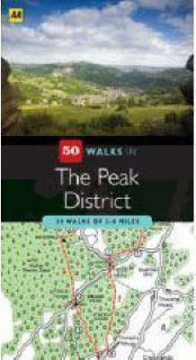

Walking is one of Britain's favourite leisure activities, and with "50 Walks in The Peak District" you can find a variety of mapped walks to suit all abilities - from the casual walker to the experienced hiker. The book features all the practical detail you need, accompanied by fascinating background reading on the history and wildlife of the area, as well as other local points of interest. All walks are annotated with places to visit along the way: 'While You're There', featuring churches, country houses, museums, villages and towns. Each walk also has refreshment information: 'Where to Eat and Drink', including tea rooms and pubs, with extra details on their character and the food on offer. A 'What to Look For' panel features more specific details of urban and industrial heritage, flora and fauna. Every walk is given a summary of distance, time, gradient, level of difficulty, type of surface and access, landscape, dog friendliness, parking and public toilets.


Yorkshire Dales

by Terry Marsh

Published 5 April 1999
Pathfinder Yorkshire Dales covering parts of the National Park, Ribblesdale and Swaledale. This selection offers interest, regional variety and balance of routes in the Yorkshire Dales providing the best walks in the area. From an easy stroll through Ingleton Waterfalls to the much more challenging walks in Gunnerside, this volume contains something for everyone. Covering walks through the whole of the Yorkshire Dales both popular and little know scenic routes including Wharfedale, Wendleydale, and Burnsall. -See walk locations by Looking Inside Inside: 28 great Yorkshire Dales walks from 2 to 10 miles -Clear, large scale Ordnance Survey route maps -GPS reference for all Yorkshire Dales waypoints -Where to park, good pubs and places of interest en route -All routes have been fully researched and written by expert outdoor writers -Beautiful photography of scenes from the walks Pathfinder Guides are Britain's best loved walking guides. Made with durable covers, they are the perfect companion for countryside walks throughout Britain. Each title features circular walks with easy-to-follow route descriptions, large-scale Ordnance Survey route maps and GPS waypoints.With over 70 titles in the series, they offer essential information for walkers throughout the country.

South Pennines

by John Gillham

Published March 1996


The Pennine Way

by Terry Marsh

Published 17 March 1997