Giza Occasional Papers
2 primary works • 5 total works
Book 1
Giza Plateau Mapping Project
by Mohsen Kamel, Mark Lehner, and Ana Tavares
Book 2
Giza Plateau Mapping Project 2005 Season
by Mohsen Kamel, Mark Lehner, and Ana Tavares
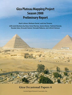
Giza Plateau Mapping Project Season 2008 Preliminary Report
by Mark Lehner, Mohsen Kamel, and Ana Tavares
The volume covers the 2008 season of clearing and mapping at the Khentkawes Town (KKT) on the Giza Plateau, and survey, mapping, and excavation of burials in the area. The work at the KKT site encompasses excavations in both the Khentkawes complex and the Menkaure Valley Temple Ante-town. This volume also covers the 2008 results of the 3-D laser scanning of the Djoser Step Pyramid at Saqqara, under the combined auspices of Egypt's Supreme Council of Antiquities, Ancient Egypt Research Associates, Osaka University, and DEVELO Solutions of Osaka, Japan.
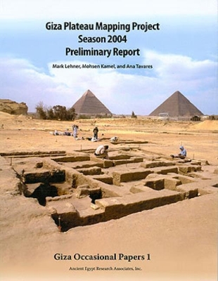
Giza Plateau Mapping Project Season 2004 Preliminary Report
by Mark Lehner, Mohsen Kamel, and Ana Tavares
Preliminary report on the Ancient Egypt Research Associates 2004 field season. The volume covers the 2004 season of clearing and mapping on the 4th Dynasty settlement at the Lost City of the Pyramids (Heit el-Ghurob [HeG] site) on the Giza Plateau. The work at the HeG site encompasses excavations north of the Wall of the Crow; in the area East of the Galleries; within the Royal Administration Building; and in the Eastern Town, the Western Dump, and areas around the Abu Hol Soccer Field.


