British Walking Guides
1 total work
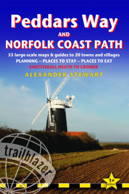
Peddars Way and Norfolk Coast Path: Trailblazer British Walking Guide
by Alex Stewart
Published 18 February 2011
Practical guide to walking the whole Peddars Way and Norfolk Coast Path. The Peddars Way & Norfolk Coast Path is a 93-mile (150km) National Trail that runs from Knettishall Heath Country Park on the Norfolk/Suffolk border in East Anglia, and follows a Roman road to Holme-next-the-Sea and along the beautiful Norfolk coastline through Holkham, Blakeney and Cley to end at Cromer. The guide includes: Peddars Way and Norfolk Coast map, 54 large-scale detailed walking maps (1:20,000), guides to 28 towns and villages. Detailed accommodation guide: campsites, B&Bs, hostels, hotels, bunkhouses. Where to eat: cafes, teashops, pubs and restaurants. Detailed public transport information. Itineraries for all walkers including one day Peddars Way and Norfolk Coast Path walks. Downloadable GPS waypoints. Colour pictures including a 6 page colour bird and flower guide.